In 1917, while serving in the Canadan Army Medical Corps in France,
George R. B. Kinney [1872–1961] wrote to Arthur Hinks, the secretary of the Royal Geographical Society in London, that he would be pleased to deliver a lecture on mountaineering in the Canadian Rockies, illustrated by “100 choice colored lantern slides, second to none (by report), and taken from my own negatives.… Mine are the original photographs taken of these hither to unexplored regions, and names like ‘Berg Lake,’ ‘Tumbling Glacier,’ ‘Robson Glacier,’ ‘Mt. Rearguard,’ ‘the Helmet,’ and ‘the Extinguisher’ that now have a permanency, were my suggestions, while Dr. Coleman gave the name of Lake Kinney on Mt. Robson’s western foot.” [
1] Kinney delivered the lecture in January 1919, and was subsequently elected a Fellow of the RGS.
Kinney had accompanied Arthur Philemon Coleman [1852–1939] and Coleman’s brother Lucius on the first mountaineering expedition to Mount Robson in 1907, when they approached from the Fraser River side and got little further than Kinney Lake. They returned in 1908, guided by Adolphus Moberly [1887– ?] and John Yates [1880– ?], who took them up the Moose River valley and approached Robson from the north. They became the first people to report on Berg Lake, Tumbling Glacier, Robson Glacier, Rearguard Mountain, The Helmet, and Extinguisher Tower, features Kinney named after their appearances.
During the 1911 Alpine Club of Canada–Smithsonian Robson Expedition, director Arthur Oliver Wheeler [1860–1945] said he “looked at the north-east face of the Mount Robson massif. On the north shoulder rests a mighty ice-field, crevassed and broken in every direction. From its centre a rugged ridge protrudes, of which the culminating apex has been named by Coleman ‘The Helmet,’ from the resemblance to the old Roman headpiece when seen from the valley below.” [2] In his writings Coleman mentions The Helmet but does not claim to have named it. [3] [4]
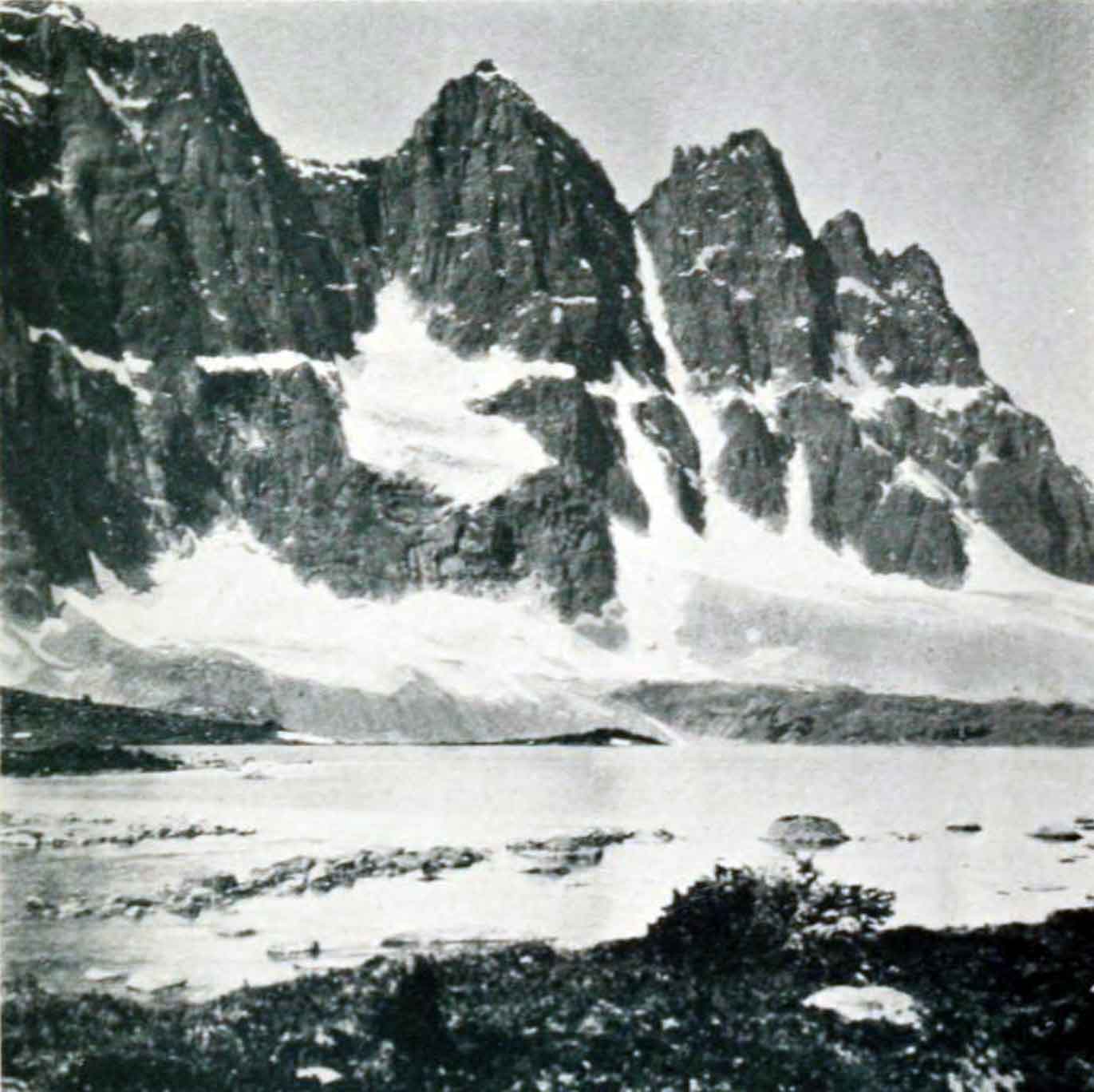
![East face of Mount Robson and The Helmet (background right). Photo: Byron Harmon [1918]](/wp-content/uploads/2024/03/wmcr-harmonb-v263-na-0955.jpg)