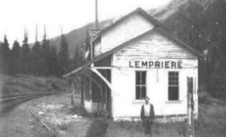
British Columbia. Mount
Headwaters of Albreda River
52.6361 N 119.3647 W — Map 083D11 — Google — GeoHack
Name officially adopted in 1961
Official in BC – Canada
Headwaters of Albreda River
52.6361 N 119.3647 W — Map 083D11 — Google — GeoHack
Name officially adopted in 1961
Official in BC – Canada
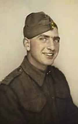
Private Samuel Lulu (Service number K/15302) of Albreda was killed on active service on July 15, 1945.
Lulu was a member of the Royal Canadian Army Service Corps. He is buried in the Holten Canadian War Cemetery, Netherlands. The great majority of those buried in Holten Canadian War Cemetery died during the last stages of the war in Holland, during the advance of the Canadian 2nd Corps into northern Germany, and across the Ems in April and the first days of May 1945. After the end of hostilities the remains of over 1,300 Canadian soldiers were brought together into this cemetery.