British Columbia. Former name
Former name of Robson Glacier
Earliest known reference to this name is 1913 (Walcott)
Not currently an official name.
Former name of Robson Glacier
Earliest known reference to this name is 1913 (Walcott)
Not currently an official name.
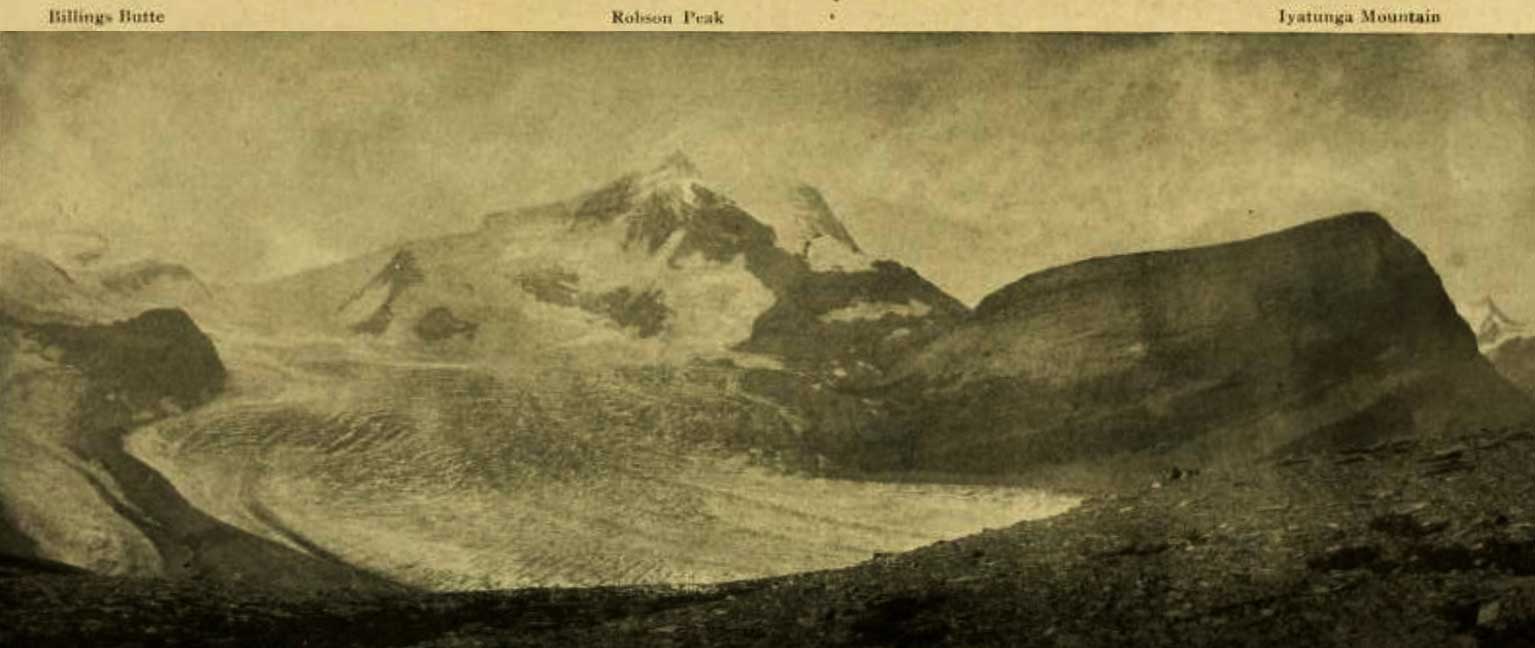
Billings Butte – Robson Peak – Iyatunga Mountain. Panonamic view of the Robson massif and adjoining mountains, with the great Hunga glacier in the foreground.
Photo: Charles D. Walcott, 1912
National Geographic Magazine 1913
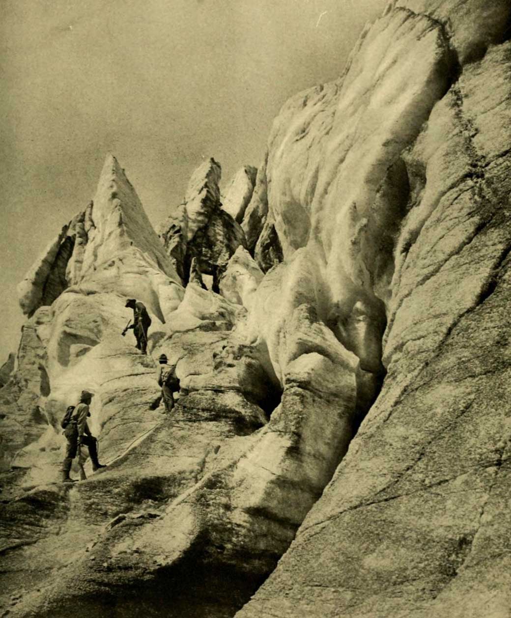
Working up through the vast and broken front of Hunga Glacier. Photo: R. C. W. Lett, 1911
National Geographic Magazine 1913
Charles Doolittle Walcott, who visited the area in 1912, referred to Robson Glacier as “the great Hunga (Chief) glacier.”
“Hunga” presumably a word in an Indigenous language.
References:
- Walcott, Charles Doolittle [1850–1927]. “The monarch of the Canadian Rockies.” National Geographic Magazine, (1913):626. Internet Archive