Monthly Archives: March 2014

Goat River station

British Columbia. Railway Point
Canadian National Railway near junction of Fraser River and Goat River
53.5333 N 120.6 W — Map 93H/10 — GoogleGeoHack
Name officially adopted in 1983
Official in BCCanada
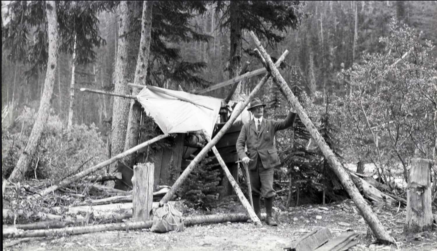
118 miles west of the Yellowhead Pass on the Canadian National Railway
Mile 28 in Fraser Subdivision (McBride to Prince George as of 1977)
Grand Trunk Pacific Railway station built in 1914

The Grand Trunk Pacific Railway station at Mile 117 (west of the Yellowhead Pass) was initially named “Rooney,” after W. J. Rooney, superintendent of construction in charge of the GTP Telegraph Service. Sometime between 1918 and 1925 the station was renamed “Goat River.”

Bohi’s listing says the station name “Goat River” was preceded by the names “Rooney” and “Brundell.”

The post office at Goat River Station operated from 1923 to 1945.

References:

  • Topping, William. A checklist of British Columbia post offices. Vancouver: published by the author, 7430 Angus Drive, 1983
  • Bohi, Charles W., and Kozma, Leslie S. Canadian National’s Western Stations. Don Mills, Ontario: Fitzhenry & Whiteside, 2002
Also see:

Goat River

British Columbia. River: Fraser River drainage
Flows NE into Fraser River near Rider
53.5333 N 120.5667 W — Map 93H/10 — GoogleGeoHack
Earliest known reference to this name is 1886 (Buchanan)
Name officially adopted in 1965
Official in BCCanada

“We followed a stream to the summit or divide, between Big [Issac] Lake and the upper Fraser, having to cut our way through a heavy growth of brush and fallen timber. After passing over the summit at a distance of about four miles we came to a stream, which we called Goat River.” So reads the report of Robert Buchanan’s 1886 prospecting expedition, which started from Barkerville.

In 1871 a Canadian Pacific Railway survey had cut a trail from Barkerville to Tête Jaune Cache through the Goat River valley, and the trail was used over the next year, but when the CPR abandoned the Yellowhead Pass route the trail fell into disuse. After Buchanan’s expedition the trail was occasionally used by miners, trappers, and lumbermen wanting to outfit out of Barkerville rather than Quesnel or Fort George.

In 1887 rumors of gold drew 40 Cariboo miners to the river, but after a week of fruitless panning they returned empty-handed.

The trail was used in the 1910s to deliver bootleg liquor to the Grand Trunk Pacific Railway construction camps on the Fraser River , and in the 1930s when mining began at Wells. Mica from a mine on Mica Mountain near Tête Jaune Cache was transported over the trail.

When newlyweds Cliff and Ruth Kopas traveled through the Goat River valley in 1933, they described the trail as being so bad that “when you get part way in, you keep going because you wouldn’t have the guts to go back over the trail again.”

There are dangerous rapids in the Fraser River near the mouth of the Goat.

References:

  • MacGregor, James Grierson. Overland by the Yellowhead. Saskatoon: Western Producer, 1974. Internet Archive
  • Kopas, Cliff. Packhorses to the Pacific. Sidney, B.C.: Gray’s, 1976
  • Wheeler, Marilyn [1932–2016]. The Robson Valley Story. McBride, B.C.: Robson Valley Story Group, 1979
  • Topping, William. A checklist of British Columbia post offices. Vancouver: published by the author, 7430 Angus Drive, 1983
  • Wright, Richard. “Tales of a trail [Goat River].” BC Outdoors, (1985)

Glacis Ridge

British Columbia. Ridge
Near headwaters of Rockingham Creek
52.7667 N 118.45 W — Map 83D/16 — GoogleGeoHack
Name officially adopted in 1951
Official in BCCanada

A “glacis” is a gently sloping bank. The ridge was a camera station on the survey of the Alberta-British Columbia Boundary Commission, which worked through the Yellowhead Pass in 1917.

References:

  • Cautley, Richard William [1873–1953], and Wheeler, Arthur Oliver [1860–1945]. Report of the Commission appointed to delimit the boundary between the Provinces of Alberta and British Columbia. Part II. 1917 to 1921. From Kicking Horse Pass to Yellowhead Pass.. Ottawa: Office of the Surveyor General, 1924. Whyte Museum
  • Cautley, Richard William [1873–1953], and Wheeler, Arthur Oliver [1860–1945]. Report of the Commission Appointed to Delimit the Boundary between the Provinces of Alberta and British Columbia. Parts IIIA & IIIB, 1918 to 1924. From Yellowhead Pass Northerly. Ottawa: Office of the Surveyor General, 1925. Whyte Museum

Gilmour Glacier

British Columbia. Glacier: Fraser River drainage
E of headwaters of Tête Creek
52.8333 N 119.6 W — Map 83D/13 — GoogleGeoHack
Earliest known reference to this name is 1947 (Zillmer)
Name officially adopted in 1962
Official in BCCanada
This glacier appears on:
Fabergé map Cariboo 1949
Andrew James Gilmour standing in camp with an ice axe
AAC Gilmour Collection AJG.B4A7.048

Andrew James Gilmour standing in camp with an ice axe
AAC Gilmour Collection AJG.B4A7.048
American Alpine Club

In 1915, Andrew James Gilmour [1871–1941] attempted an exploration of the Cariboo mountains, then unexplored. The attempt, with Edward Willet Dorland Holway [1853–1923] of the University of Minnesota, was largely defeated by continuous bad weather.

In 1916, Gilmour took part in explorations of the peaks and glaciers north ofWhitehorn Mountain and west of Robson Pass, including the first ascent of Mount Longstaff.

With Newman Diefendorf Waffl [1879–1930] and Helen I. Buck [1884–1972], he made the first ascent of Mount Sir Alexander in 1929. Gilmour Glacier was named in 1947 by Raymond T. Zillmer [1887–1960].

Andrew Gilmour died in New York after an illness of nine months. By vocation a dermatologist, his avocation was travel and alpinism and for 30 years his activity ranged through the Alps, the Pyrenees, the American and Canadian Rockies, Wales and the Lake District, Mexico, the Cascades and the lesser peaks of the eastern United States.

Although his climbing interest manifested itself as early as 1905 with an ascent of the Gross Glockner, it was not until 1914 that it ripened with full-fledged mountaineering. That summer he joined and Holway and Frederic K. Butters in a month’s arduous back-packing trip in the southern Selkirks.

The close friendship thus formed between Holway and Gilmour led to further important explorations and first ascents: in 1915, of Mount Edith Cavell and the entirely unknown country at the headwaters of Small Creek and Horse Creek, with a nearly successful ascent of Mount Longstaff, and, in 1916, to the capture of the latter together with Mount Phillips, the approach being made from the Swiftcurrent Creek side.

These expeditions by Holway and Gilmour were personal “backpacking” enterprises into virgin territory. They were performed without Swiss guides or pack-trains, although an occasional horse might assist in the preliminary stage. Their main reliance was upon local men who helped to pack the party in and then acted in support by relaying provisions and sometimes by hunting game.

Dr. Gilmour was a member of the American, Canadian, Swiss and French Alpine clubs, the Explorers’ club, and the Appalachian cub. He was a fellow of the Royal Geographic society of London.

References:

  • Strumia, Max M., and Hainsworth, William R. “Gleanings in the Canadian Rockies, 1930.” American Alpine Journal, (1931). American Alpine Club
  • H. P. “Gilmour, Andrew James, 1871–1941.” American Alpine Journal, (1942). American Alpine Club
  • Zillmer, Raymond T. [1887–1960]. “Exploration of the McLennan completed.” Canadian Alpine Journal, Vol. 30 (1947):85-95
  • Thorington, James Monroe [1895–1989]. “Canada, Cariboo Range.” American Alpine Journal, Vol. 7, No. 2 (1949). American Alpine Club