The earliest reference to this lake, then unnamed, seems to be the report of surveyor
James McEvoy [1862–1935] in 1898, where he stated that “there is said to be a lake on this stream [Robson River] about six miles up.”
The first reported visit to the lake occurred in 1907, when Arthur Philemon Coleman [1852–1939], his brother Lucius Coleman, and George R. B. Kinney [1872–1961] made an attempt to climb Mount Robson. Coleman wrote, “Through the bush along the river our loads were an immense nuisance, but presently we reached the forks, and then had good going on the shore of a beautiful lake, which had been visited by Mr. Kinney the day before, and has been named Lake Kinney in honor of our indefatigable comrade.”
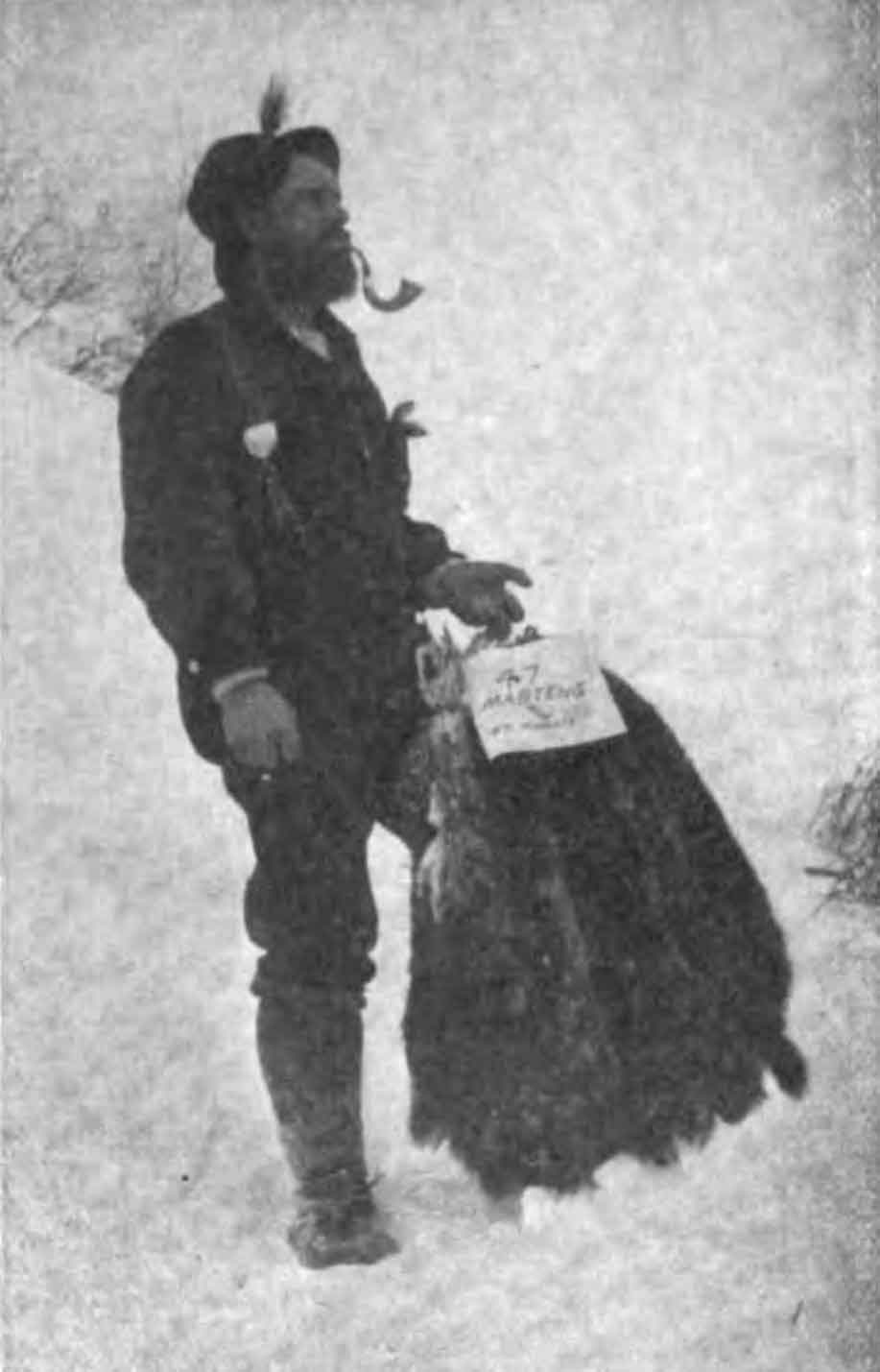
Kinney became interested in climbing while serving as a minister of the Methodist Church in Banff and Field. He accompanied Coleman on his unsuccessful trips to Mount Robson in 1907 and 1908.
In 1909 Kinney returned alone, met Donald “Curly” Phillips [1884–1938] near Jasper, and travelled with him through the Yellowhead Pass and the Moose River valley to the foot of Mount Robson. After being repelled several times by weather, they reached what Kinney reported to be the peak.
In 1911 Kinney was a member of the Alpine Club of Canada–Smithsonian Robson Expedition, directed by Arthur Oliver Wheeler [1860–1945]. The expedition made no attempt to climb Mount Robson.
In 1913 the Alpine Club of Canada held a special camp at Mount Robson, which Kinney did not attend. Donald Phillips outfitted the camp. A climbing party reached the summit of Mpount Robson: guide Conrad Kain [1883–1934], William Wasborough Foster [1875–1954], and Albert H. MacCarthy [1876–1956].
After hearing their account of the climb, Phillips that he and Kinney had not ascended a final 50-foot dome of snow. So official credit for the first ascent goes to Kain’s party.
Recent investigations corroborate the view that Kinney did not make the summit.
Kinney’s 1909 attempt on Mount Robson was the climax of his climbing career. During a short period of fame he was invited to lecture on his achievement before the Appalachian Club in Boston, the National Geographic Society in Washington, D.C., and the American Museum of Natural History in New York. After the 1913 Alpine Club of Canada camp at Mount Robson, which Kinney could not attendand and when Phillips recantated, Kinney faded from the Canadian alpine scene.
During World War I he served overseas as a stretcher bearer, and in his off-duty hours he toured the front lines lecturing on the Canadian Rockies. On leave in England, he lectured to the Royal Geographical Society in London and was made a fellow of the Society. After the war he continued his ministry, which for many years took him to isolated logging camps and fishing villages along the west coast of Vancouver Island. During this time he explored and climbed the Comox Glacier. Kinney was a pioneer in alpine photography. He died in Victoria.
![Rafting Lake Kinney [George B. Kinney and Harry Blagden]. Photo: Byron Harmon, 1911](/wp-content/uploads/2021/12/wmcr-harmonb-v263-na-0971.jpg)