Author Archives: Swany

Bucephalus Peak

British Columbia. Peak
SE of Yellowhead Lake
52.8222 N 118.4444 W — Map 083D16 — GoogleGeoHack
Name officially adopted in 1951
Official in BCTopo map from Canadian Geographical Names
The Assiniboine rescues Bucephalus

The Assiniboine rescues Bucephalus Whyte Museum of the Canadian Rockies [accessed 7 February 2025]

“Cheadle’s horse was the most extraordinary-looking animal in the whole cavalcade. Bucephalus stood about fifteen hands, was straight in the shoulder, one of his legs was malformed and crooked, his head was very large, and his tail very long. On the road he was continually stumbling; and when Cheadle rode him about the settlement, he was at first nearly pitched over every gate and fence he came to. But he turned up the most useful horse of the whole number, galloping over the roughest ground after buffalo without ever making a mistake, or giving his rider a fall, and eventually carried packs over the mountains into British Columbia.”

Walter Butler Cheadle [1835–1910] crossed the Yellowhead Pass withWilliam Wentworth Fitzwilliam Milton [1839–1877] in 1863.

The original Bucephalus (“bull-headed”) was the horse of Alexander the Great of Macedon.

References:

  • Milton and Cheadle; Milton, William Wentworth Fitzwilliam [1839–1877]; Cheadle, Walter Butler [1835–1910]. The North-West Passage by Land. Being the narrative of an expedition from the Atlantic to the Pacific, undertaken with the view of exploring a route across the continent to British Columbia through British territory, by one of the northern passes in the Rocky Mountains. London: Cassell, Petter and Galpin, 1865. Internet Archive [accessed 10 March 2025]
Also see:

Brownlee Road

British Columbia. Road
W of McBride
Roads are not in the official geographical names databases

William Brownlee (1877–1950) came to McBride in 1927, and after a year in town moved to a farm. He served a term as president of the McBride Farmers’ Institute. His son William L. (1908–1967) worked in the mines at Wells from 1933 until 1951, when he returned to McBride.

References:

  • Wheeler, Marilyn. The Robson Valley Story. McBride, B.C.: Robson Valley Story Group, 1979

Mount Brown

Alberta-BC boundary. Mount
Athabasca River and Columbia River drainages
E of Iroquois Creek, overlooking Athabasca Pass
52.3833 N 118.25 W — Map 83D/8 — GoogleGeoHack
Earliest known reference to this name is 1827 (David Douglas)
Name officially adopted in 1921
Official in BCTopo map from Canadian Geographical Names
Elevation: 2791 m
Robert Brown

Robert Brown

Botanist David Douglas [1799–1834] crossed the Athabasca Pass on May 1, 1827:

After breakfast, about one o’clock, being well refreshed, I set out with the view of ascending what seemed to be the highest peak on the north. The height from its apparent base exceeds 6000 feet, 17,000 feet above the level of the sea. After passing over the lower ridge of about 200 feet, by far the most difficult and fatiguing part, on snow-shoes, there was a crust on the snow, over which I walked with the greatest ease. A few mosses and lichens, Andreae and Jungermanniae, were seen. At the elevation of 4800 feet vegetation no longer exists not so much as a lichen of any kind to be seen, 1200 feet of eternal ice. The view from the summit is of that cast too awful to afford pleasure nothing as far as the eye can reach in every direction but mountains towering above each other, rugged beyond all description; the dazzling reflection from the snow, the heavenly arena of the solid glacier, and the rainbow-like tints of its shattered fragments, together with the enormous icicles suspended from the perpendicular rocks ; the majestic but terrible avalanche hurtling down from the southerly exposed rocks producing a crash, and groans through the distant valleys, only equalled by an earthquake. Such gives us a sense of the stupendous and wondrous works of the Almighty. This peak, the highest yet known in the northern continent of America, I felt a sincere pleasure in naming MOUNT BROWN, in honour of R. Brown, Esq., the illustrious botanist, no less distinguished by the amiable qualities of his refined mind. A little to the south is one nearly of the same height, rising more into a sharp point, which I named MOUNT HOOKER, in honour of my early patron the enlightened and learned Professor of Botany in the University of Glasgow, Dr. Hooker, to whose kindness I, in a great measure, owe my success hitherto in life, and I feel exceedingly glad of an opportunity of recording a simple but sincere token of my kindest regard for him and respect for his profound talents. .” [1]

Robert Brown [1775–1858], the first keeper of the botanical department in the British Museum, was also the namesake of Brownian motion, the incessant motion of microscopic particles suspended in fluids. David Douglas was his student. Douglas’s ascent was the earliest recorded climb in the Canadian Rockies. [2]

When mountaineers first came to the Rockies in the late nineteenth century, they were anxious to find and climb this “highest yet known” peak. [3] In 1893 the highest mountain Arthur Philemon Coleman [1852–1939] could find near the Athabasca Pass was about 9,000 feet (2740 m) high. [4] In 1908 Hugh Edward Millington Stutfield [1858–1929] and John Norman Collie [1859–1942] took another look for the 17,000 foot Mount Brown and nearby 16,000 foot Mount Douglas. “If David Douglas climbed a 17,000 foot peak alone on a May afternoon,” they wrote, “when the snow must have been pretty deep on the ground, all one can say is that he must have been an uncommonly active person. What, of course, he really did was to ascent the Mount Brown of Professor Arthur Coleman. These two fabulous Titans, which for nearly seventy years have been masquerading as the monarches of the Canadian Rockies, must now be finally deposed, and Mounts Forbes, Columbia, and Alberta, with Peak Robson, west of the Yellowhead Pass, must reign in their stead. [5]”

Edward Willet Dorland Holway [1853–1923], in “New Light on Mounts Brown and Hooker,” states, “My theory is that possibly after he [Douglas] returned to England he learned of Thompson’s Survey and that he then inserted the height and named the mountains.” [6]

David Thompson’s [1770–1857] Narrative of his explorations in western America, under March 10th, 1809:

At the greatest elevation of the passage across the Mountains by the Athabasca River the point by boiling water gave 11,000 feet and the peaks are full 7,000 feet above this passage; and the general height may be fairly taken at 18,000 feet above the Pacific Ocean. [7]

References:

  • 1. Douglas, David [1799–1834]. Journal kept by David Douglas during his travels in North America 1823-1827, together with a particular description of thirty-three species of American oaks and eighteen species of Pinus, with appendices containing a list of the plants introduced by Douglas and an account of his death in 1834. Royal Horticultural Society, 1914, p. 71. Internet Archive [accessed 10 March 2025]
  • 2. Akrigg, Helen B., and Akrigg, George Philip Vernon [1913–2001]. British Columbia Place Names. Vancouver: UBC Press, 1997. Internet Archive [accessed 6 February 2025]
  • 3. Wheeler, Arthur Oliver [1860–1945]. “The location of Mts. Brown and Hooker.” Canadian Alpine Journal, Vol. 12 (1921–1922):123-129
  • 4. Coleman, Arthur Philemon [1852–1939]. The Canadian Rockies: New and Old Trails. London: T. Fisher Unwin, 1911. Internet Archive [accessed 3 March 2025]
  • 5. Stutfield, Hugh Edward Millington M. [1858–1929], and Collie, John Norman Norman [1859–1942]. Climbs and Explorations in the Canadian Rockies. London: Longmans, Green, 1903. University of British Columbia Library [accessed 10 March 2025]
  • 6. Holway, Edward Willet Dorland [1853–1923]. “Mt. Longstaff.” Canadian Alpine Journal, 8 (1917):109
  • 7. Thompson, David [1770–1857]. David Thompson’s Narrative of his explorations in western America, 1784-1812. Joseph Burr Tyrrell, editor. Toronto: Champlain Society, 1916. University of British Columbia [accessed 10 March 2025]
Also see:

Brown Road

British Columbia. Road
Forks S of Hwy 16 W of Dunster Road
Roads are not in the official geographical names databases

Origin of the name unknown.

British Columbia

British Columbia. Province
Western-most province in Canada
Earliest known reference to this name is 1858 (Queen Victoria)
Name officially adopted in 1858
Official in BCTopo map from Canadian Geographical Names
This province appears on:
John Arrowsmith’s map BC 1859

An influx of American gold-miners prompted Great Britain to proclaim the crown colony of British Columbia in 1858. The southern part of what is now the province was known as the Columbia Department during the fur-trade era, after the Columbia River. Although the major portion of British Columbia was called New Caledonia by the fur-traders, this name (duplicated in the South Pacific) was discarded by Queen Victoria in favor of the present name.

The Colony of British Columbia did not originally include the Colony of Vancouver Island, or the regions north of the Nass River and Finlay River, or the regions east of the Rocky Mountains. The colony was enlarged in 1863 in the north and northeast up to the 60th parallel and the 120th meridian. The colony joined Canada as the sixth province in 1871.

“British Columbia / Colombie-Britannique” is among the 75 “Pan-Canadian names,” large and well-known Canadian features and areas designated in Treasury Board Circular 1983-58 to require presentation in both official languages of Canada on federal maps.

References:

  • Arrowsmith, John [1790–1873]. Provinces of British Columbia and Vancouver Island; with portions of the United States and Hudson’s Bay Territories. 1859. UVic
  • British Columbia Geographical Names. British Columbia
Also see:

Bounding Creek

British Columbia. Creek: Fraser River drainage
Flows NW into Goat River, SW of Rider
53.4694 N 120.655 W — Map 093H07 — GoogleGeoHack
Name officially adopted in 1965
Official in BCCanada

The British Columbia Geographical Names Office notes that “Boulder Creek” was submitted as a descriptive name for this feature by R.W. Haggen in February 1925. Presumably not adopted at the time because of duplicates, or the small size of the feature.

References:

Blackwater River

British Columbia. River: Fraser River drainage
Local name of McKale River
53.3975 N 120.3422 W GoogleGeoHack
Not currently an official name.
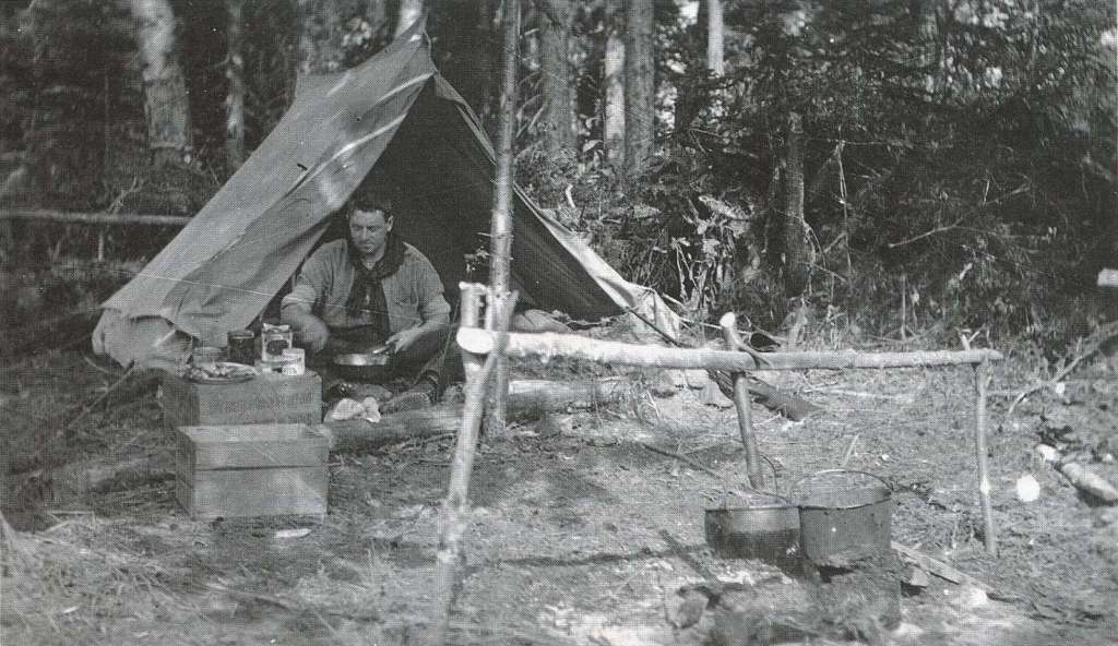
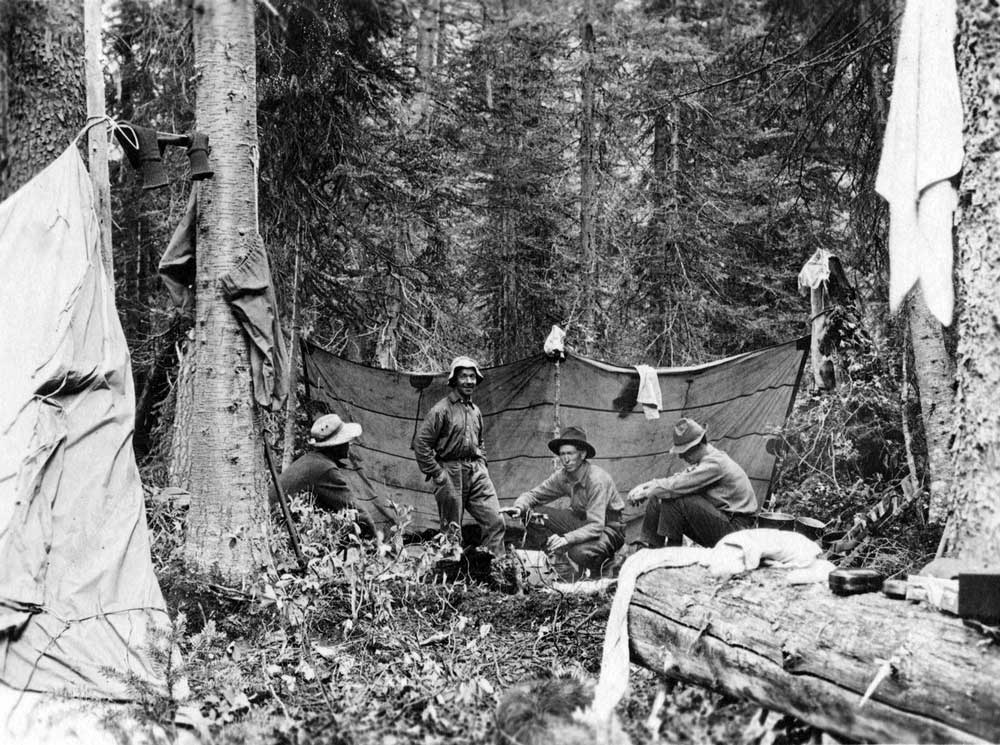
Glaciers at the head of the Blackwater (McKale) occasionally drop a chunk of graphite into the river. The water near the head of the river can be as black as ink, according to Everett Monroe [1917-1998].

There is a tributary of the Fraser River downstream from Prince George also known as the Blackwater: West Road (Blackwater) River. Blackwater in this case is a translation of the traditional name, derived from early native recognition that its many tributaries collect water from swamps and muskeg on the plateau, imparting a dye which stains the riverbed black (“Blackwater River”, by W.Hillen, Toronto, 1971). “West Road” was the name given by Alexander Mackenzie [1764–1820] in 1793. The feature is labelled “Black or West Road River” on Trutch’s 1871 map and labelled “Blackwater or West Road River” on the 1875 geological map of British Columbia by George Mercer Dawson [1849–1901].

References:

  • Wheeler, Marilyn [1932–2016]. The Robson Valley Story. McBride, B.C.: Robson Valley Story Group, 1979

Blackstone Glacier

British Columbia. Glacier: North Thompson River drainage
SE of Thompson Glacier, at head of North Thompson River
52.65 N 119.6667 W — Map 83D/12 — GoogleGeoHack
Earliest known reference to this name is 1939 (Zillmer)
Name officially adopted in 1962
Official in BCCanada
This glacier appears on:
Zillmer maps of Cariboo 1939-1948 [1939]

Raymond T. Zillmer wrote of his exploration of the source of the Thompson River:

It was my purpose [in 1939] to travel up the Thompson Valley to its source, explore its source, determine its relation to the Raush, and cross the range, if possible, going out by way of the Canoe River.…

We had two other alternatives. One was to climb the moun­tain E. of where we then stood, by following a ridge alongside and S. of a creek that came into the Thompson a little N. of us, named Blackstone Creek by Miss Frye. Above timberline we would get to a large icefield which fed this creek and which we called Blackstone Glacier.

Ella Frye was a trapper on the North Thompson.

References:

  • Zillmer, Raymond T. [1887–1960]. “The exploration of the source of the Thompson River in British Columbia.” American Alpine Journal, Vol. 4, No. 1 (1940):69–81. American Alpine Club

Blackrock Mountain

Alberta-BC boundary. Mountain
Headwaters of Fraser River
52.5714 N 118.2997 W — Map 083D09 — GoogleGeoHack
Name officially adopted in 1924
Official in BCCanada
This mountain appears on:
Boundary Commission Sheet 28 (surveyed in 1921) [as “Mt. Blackrock””]

The feature was named by the Alberta-British Columbia Boundary Commission in 1921, labelled as “Mount Blackrock” on BC-Alberta boundary sheet 28, 1921. Descriptive of the sharp black peak.

References:

  • Cautley, Richard William [1873–1953], and Wheeler, Arthur Oliver [1860–1945]. Report of the Commission appointed to delimit the boundary between the Provinces of Alberta and British Columbia. Part II. 1917 to 1921. From Kicking Horse Pass to Yellowhead Pass.. Ottawa: Office of the Surveyor General, 1924. Whyte Museum
  • Cautley, Richard William [1873–1953], and Wheeler, Arthur Oliver [1860–1945]. Report of the Commission Appointed to Delimit the Boundary between the Provinces of Alberta and British Columbia. Parts IIIA & IIIB, 1918 to 1924. From Yellowhead Pass Northerly. Ottawa: Office of the Surveyor General, 1925. Whyte Museum
  • British Columbia Geographical Names. Blackrock Mountain

Mount Blackman

British Columbia. Mount
Between Canoe River and Hugh Allan Creek
52.4886 N 118.7136 W — Map 083D07 — GoogleGeoHack
Name officially adopted in 1974
Official in BCCanada

Not necessarily the same source as Blackman Road. Origin/significance not known. David Thompson [1770–1857] ascended the Canoe River for more than 50 miles above his “Boat Encampment” and described this prominent feature, but apparently did not apply any name.

References:

  • Valemount Historic Society. Yellowhead Pass and its People. Valemount, B.C.: 1984