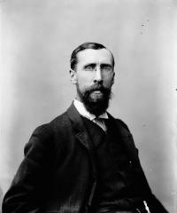
Simon Fraser
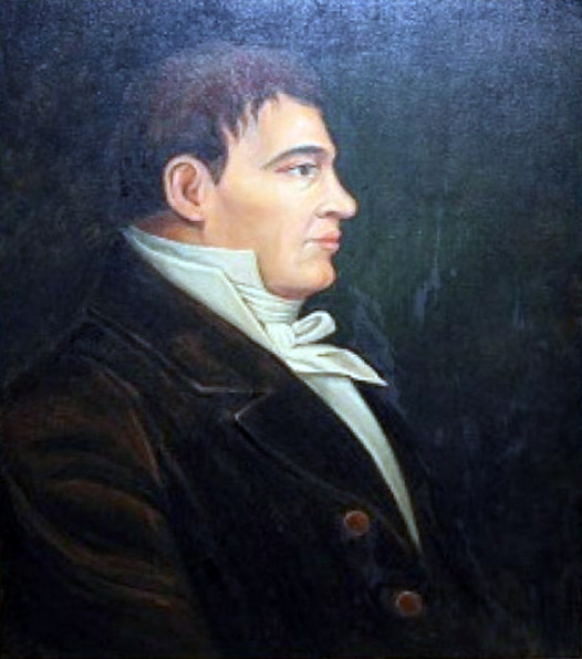
The river was named after Simon Fraser [1776–1862], who led an expedition in 1808 on behalf of the North West Company from the site of present-day Prince George almost to the mouth of the river. The river was named by fellow fur-trader David Thompson [1770–1857] (the Thompson River was given its name by Fraser). The first European to mention the Fraser River was Alexander Mackenzie [1764–1820] during his journey to the Pacific in 1793. On a map printed with his Voyages in 1801, Mackenzie called the river “Tacoutche Tesse, or Columbia River” [1]. The Fraser River was also known in the early days of the fur trade as the New Caledonia River.
The Agents who acted for the Company and were also Partners of the Firm, were the Honorable William McGillvray and Sir Alexander McKenzie, gentlemen of enlarged views; the latter had crossed the Rocky Mountains by the Peace River and was far advanced by Fraser River towards the Pacific Ocean, when want of Provisions and the hostility of the Natives obliged him to return.
The river’s name in the Carrier (Dakelh) language is Lhtakoh. The Tsilhqot’in name for the river, not dissimilar to the Dakelh name, is ʔElhdaqox, meaning Sturgeon (ʔElhda-chugh) River (Yeqox) [3].
Spanish explorers never found their way up the mouth of the Fraser, but in 1791, finding evidence that they were near the mouth of a major river, they named it “Rio Floridablanca” in honor of the prime minister of Spain.
The name was officially adopted by the Geographic Board of Canada in 1910, as long-identified on maps and in journals. The name was re-approved in in 1915 to specifically identify the Fraser River as the main channel sometimes known as the South Fork Fraser River (the portion between Yellowhead Lake and Prince George), the former North Fork Fraser River being the current McGregor River [4].
“Fraser River / Fleuve Fraser” is among the 75 “Pan-Canadian names,” large and well-known Canadian features and areas designated in Treasury Board Circular 1983-58 to require presentation in both official languages of Canada on federal maps. In French, a fleuve is a river that flows into an ocean or sea.
References:
- 1. Mackenzie, Alexander [1764–1820]. Voyages from Montreal on the River St. Lawrence through the Continent of North America to the Frozen and Pacific Oceans in the Years 1789 and 1793 with a Preliminary Account of the Rise, Progress, and Present State of the Fur Trade of That Country. London: T. Cadell, Jun., and W. Davies, 1803. Internet Archive [accessed 10 March 2025]
- 2. Thompson, David [1770–1857], and Tyrrell, Joseph Burr [1858–1957], editor. David Thompson’s Narrative of His Explorations in Western America, 1784-1812. Joseph Burr Tyrrell, editor. Toronto: Champlain Society, 1916. University of British Columbia [accessed 10 March 2025]
- 3. Wikipedia. Fraser River
- 4. British Columbia Geographical Names. Fraser River