Head of Astoria River near Continental Divide
52.6647 N 118.2375 W — Map 083D09 — Google — GeoHack
Earliest known reference to this name is 1924 (Alberta-British Columbia Boundary Commission)
Name officially adopted in 1935
Official in Canada
Boundary Commission Sheet 28 (surveyed in 1921)
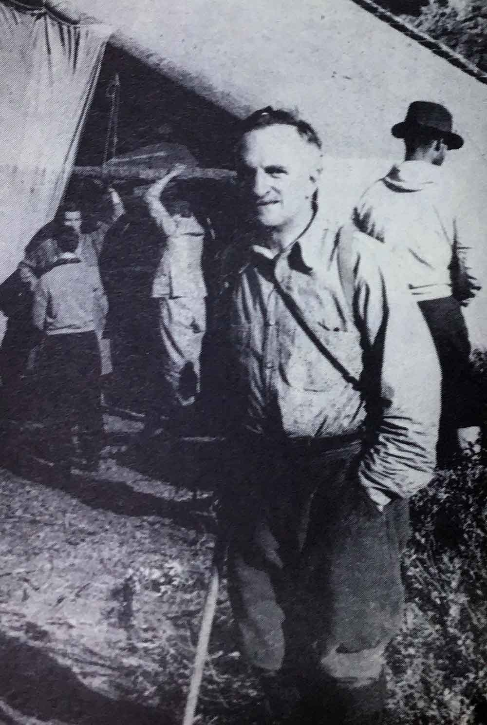
James Monroe Thorington [1895–1989] visited the area in 1924 with guide Conrad Kain [1883–1934]:
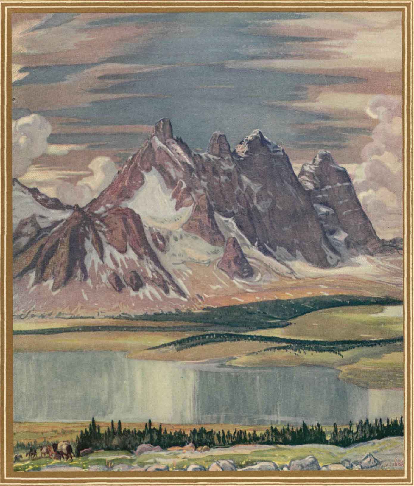
The headwaters of Astoria River are derived in part from Chrome Lake, into which flow rushing streams from the Eremite and Fraser Glaciers; but a somewhat larger creek rises in the Amethyst Lakes, two lovely bodies of water closely connected with one another and lying close below the stupendous east wall of the Ramparts….
Hurrying up some rising grassy slopes we were soon among the enormous morainal blocks below the glacier, and in a few minutes had rounded a tiny blue marginal lake to the ice itself. Past a corner of Outpost the circle of little peaks bounding Eremite Glacier presented themselves in snowy line. Eastward we looked down upon the curious yellow brilliancy of Chrome Lake, and into the Astoria Valley where Mount Edith Cavell raises a shaly, snowless gable to a sharp point wholly unlike the great white face one sees from Jasper.
The area was the site of the Alpine Club of Canada’s Eremite Valley Camp in 1934.
- Thorington, James Monroe [1895–1989]. The Glittering Mountains of Canada. A record of exploration and pioneering ascents in the Canadian Rockies 1914-1924. Philadelphia: John W. Lea, 1925, p. 213. Internet Archive