The Snake Indian River was named after a small tribe of indigenous people, referred to as the
in the 19th century.
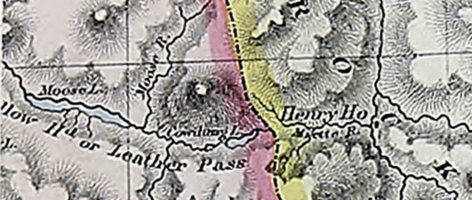
Jasper House is beautifully situated on an open plain, about six miles in extent, within the first range of the mountains. As the valley makes a bend above and below, it appears to be completely encircled by mountains, which rise from 4,000 to 5,000 feet, with bold craggy outlines; the little group of buildings which form the ” fort ” have been constructed, in keeping with their picturesque situation, after the Swiss style, with overhanging roofs and trellised porticos. The dwelling-house and two stores form three sides of a square, and these, with a little detached hut, form the whole of this remote establishment. The general direction of the valley of the Athabasca through the mountains seems to be a from south to north, with a very little easting. Four miles below the fort the Athabasca receives a large tributary from the W.N.W., which is known either as the Assineboine or the Snake Indian River. Opposite to the fort, from the opposite direction, comes Rocky River, and these two streams, with the Athabasca, define four great mountain masses.
There was once a little tribe of Indians known as the Snakes, that lived in the country to the north of Jasper House, but which, during the time of the North West Fur Company, was treacherously exterminated by the Assineboines. They were invited to a peace feast by the latter Indians, when they were to settle all their disputes, and neither party was to bring any weapons. It was held about three miles below the present site of Jasper House, but the Assineboines being all secretly armed, fell on the poor Snakes in the midst of the revelry, and killed them all. Such was the story I heard from the hunters here.