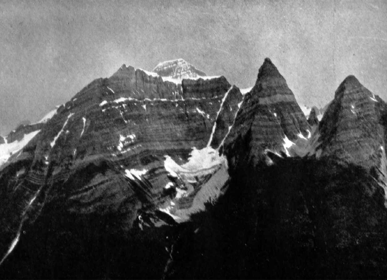
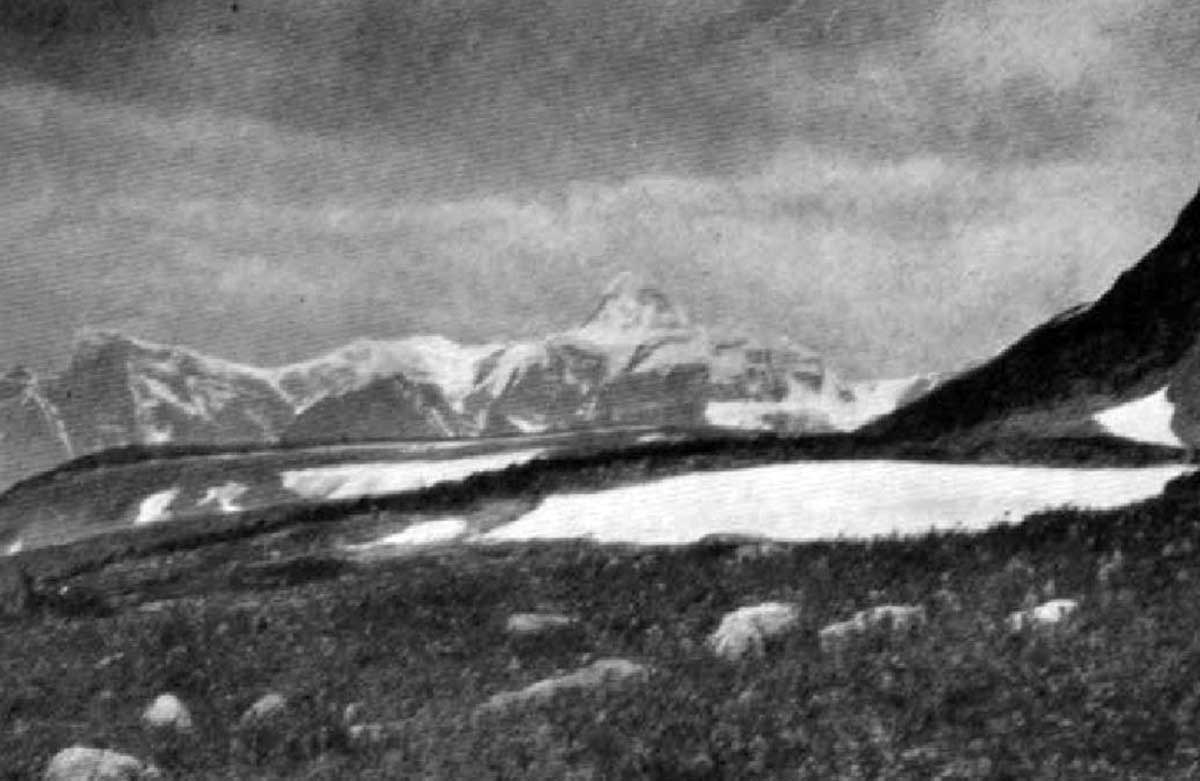
S of Babette Lake in Kakwa Provincial Park
53.9986 N 120.2028 W — Map 093H16 — Google — GeoHack
Name officially adopted in 1988
Official in BC – Canada
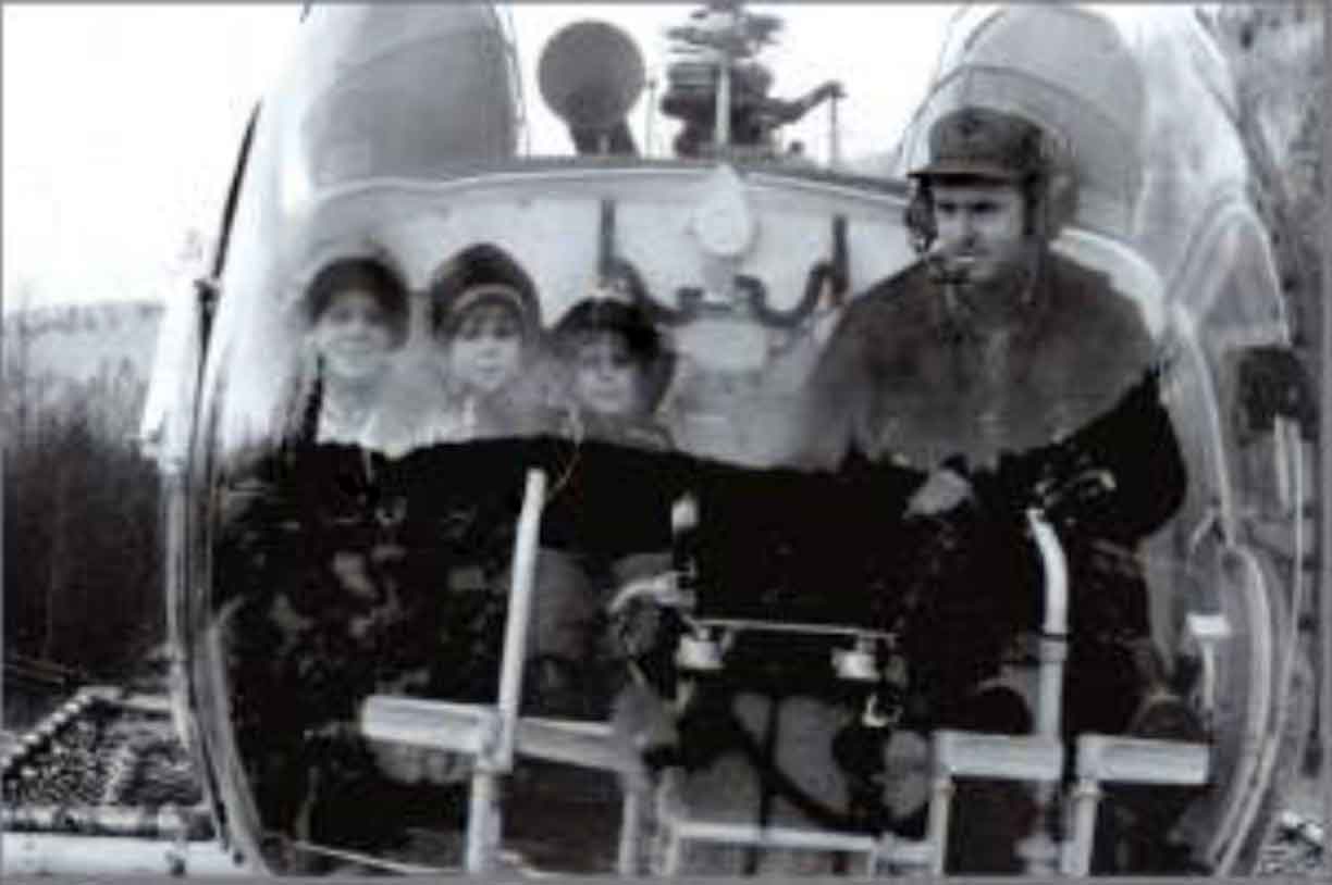
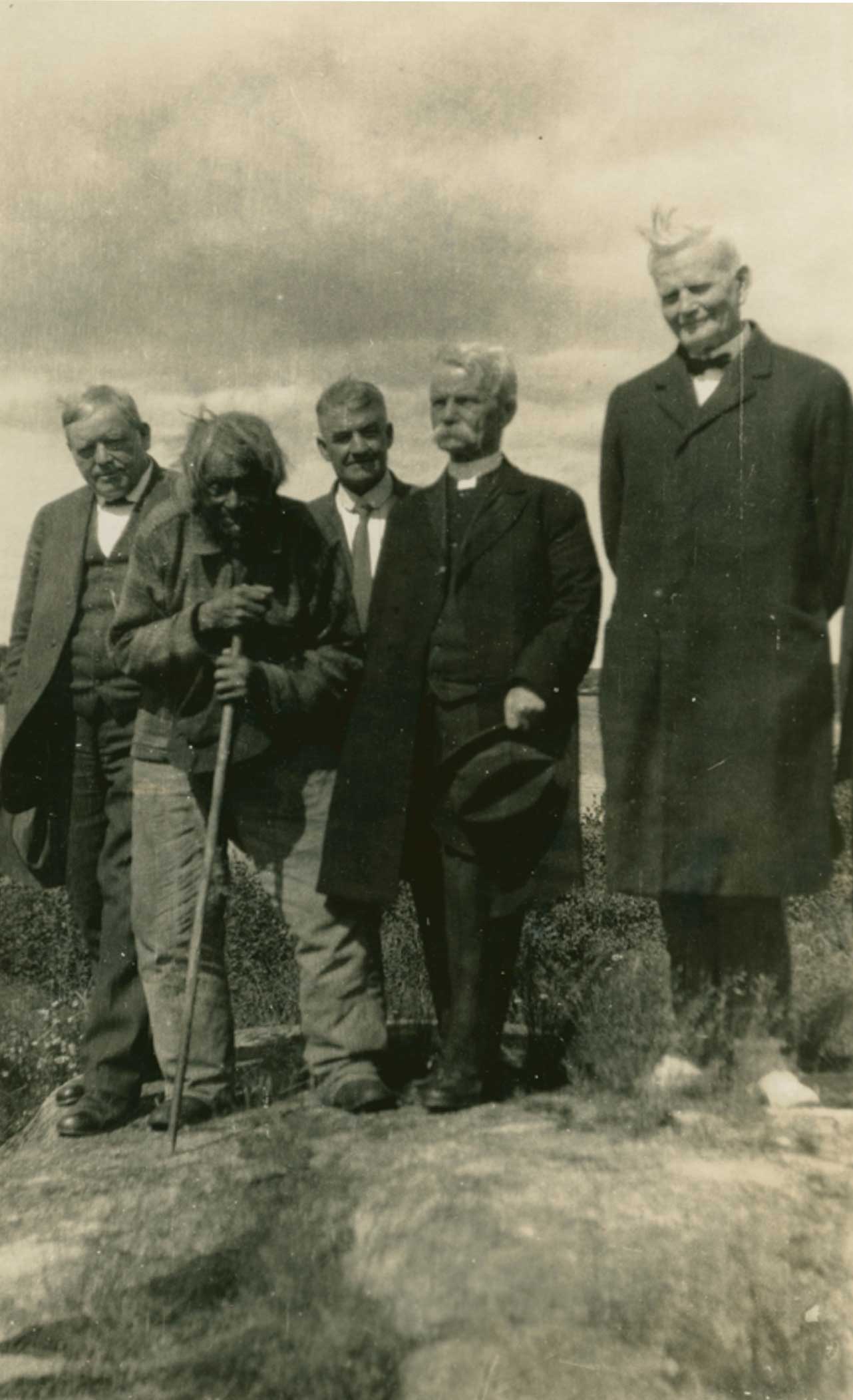
lan Monroe pilots nephews Leonard and Andrew Foster and son Doug
The Valley Sentinel, June 15, 2012
After Ian George Monroe [1951–1987], pilot, killed in a helicopter accident. Monroe and others made presentations to the Wilderness Advisory Committee, eventually leading to the creation of Kakwa Provincial Park.
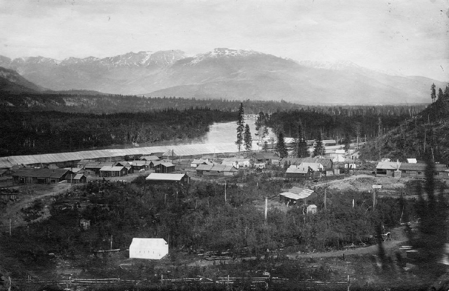
Ian Monroe, the fifth child of Everett Monroe [1917–1998] and Dorothy Apsey [1920–1979], was a member of the third generation of a family of trappers, guides, and prospectors in Kakwa area. Ian got his fixed wing pilot’s license, floatplane, and helicopter endorsements and became a third partner in CCI Aviation. CCI stood for Charlie Chitwood, Charlie Leake, and Ian Monroe. The CCI camp is at the base of this mountain.
Name adopted in March 1988 as submitted by McBride Chamber of Commerce and BC Parks.
- Foster, Sheilagh. “June 16 marks 100 years of Monroes in the Robson Valley.” The Valley Sentinel, June 13 (2012):15. ISSUU
- British Columbia Geographical Names. Mount Ian Monroe