N of Red Pass Junction, between Razor Peak and Mount Kain
53.0333 N 119 W — Map 83E/2 — Google — GeoHack
Earliest known reference to this name is 1911 (Wheeler)
Name officially adopted in 1951
Official in BC – Canada
Wheeler’s map Mount Robson 1912
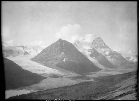
Looking at this pass from the Moose River valley during the 1911 Alpine Club of Canada–Smithsonian Robson Expedition, surveyor Arthur Oliver Wheeler [1860–1945] wrote,
To Konrad’s disappointment the “Finger of Kain” now showed a broad slab of rock, but it must have been a very thin one. Beneath, to the south, lay deep valley which opened on the west branch valley above our camp. It supplies an easy pass to the Fraser Valley, to which it opens about two miles below the south end of Moose Lake. Seen from the Fraser Valley, the rock exposures at the crest show a brilliant red and, on this account, it is here called the “Red Pass. Examination from the Fraser side showed that the head of the valley below us contained some beautiful alplands and a that a pony trail would be possible of construction. It would be shorter from the railway than the Moose River route.
“Konrad” was guide Conrad Kain [1883–1934].
- Wheeler, Arthur Oliver [1860–1945]. “The Alpine Club of Canada’s expedition to Jasper Park, Yellowhead Pass and Mount Robson region, 1911.” Canadian Alpine Journal, Vol. 4 (1912):9-80