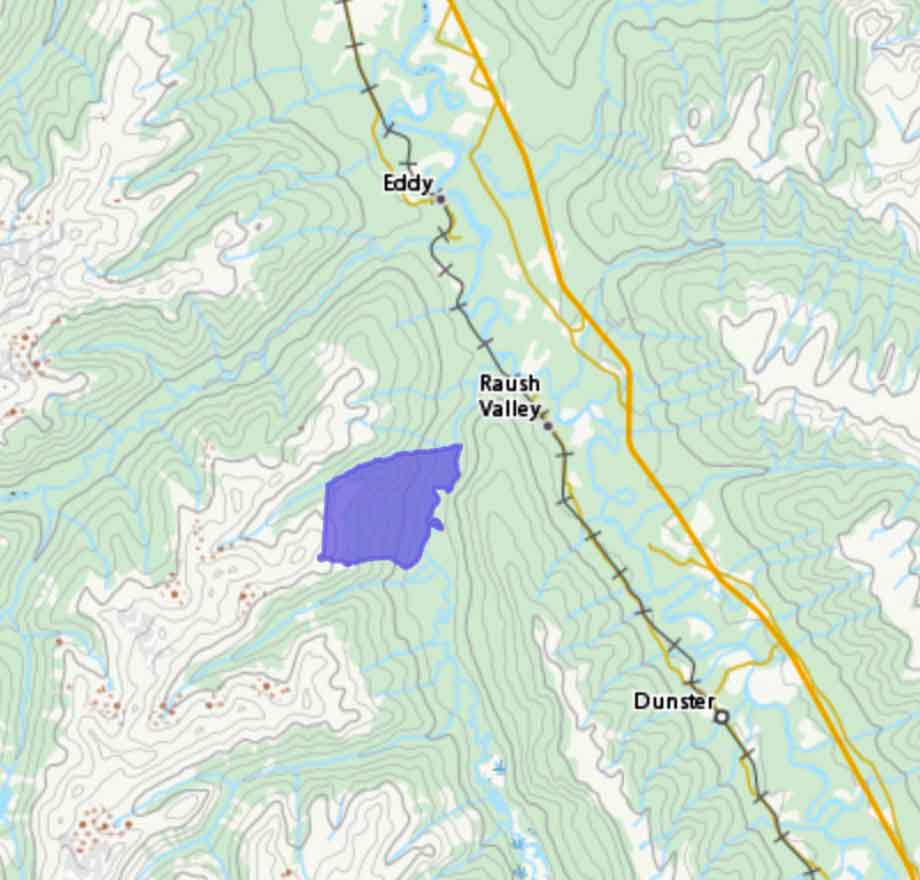
Sunbeam Creek Ecological Reserve was established in 1972 to protect a variety of alpine communities representative of the western edge of the Rocky Mountains.
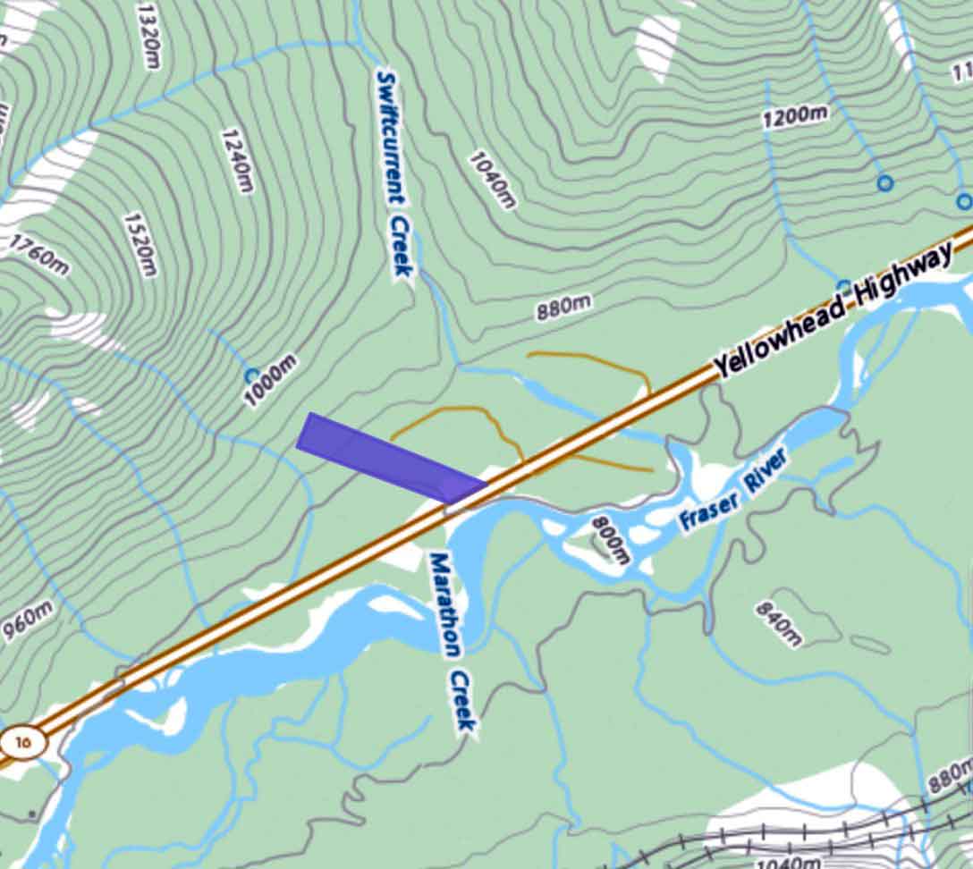
The 511-hectare reserve encompasses McBride Peak and adjacent summits to the northeast and northwest. These mountains form the western-most flank of the Park Range, immediately adjacent to the Rocky Mountain trench. Mountains in the reserve have generally rounded summits, having been overtopped by a dome of Pleistocene ice which reached the 2450 m elevation. They therefore lack the matterhorn-like peaks of higher mountains further east in the Park Ranges which protruded above the regional ice sheet, e.g. Mount Robson. Local alpine glaciers and stream erosion during the past ten thousand years have dissected the rounded summits to some extent, producing U-shaped valleys separated by relatively sharp crests. Surficial materials are largely morainal and colluvial. Freeze-thaw action has resulted in characteristic alpine features like solifluction lobes and frost-shattered rock. The climate is cold and windy. Glaciers do not presently exist, but snow patches are present on north-facing slopes for most of the summer. Drainage is via Sunbeam Creek and McKale River into the Fraser River.
Slopes in the reserve face all directions and terrain varies from moist stream- bottoms to alpine crests, therefore, a variety of alpine plant communities are present. To date, however, these have been only superficially described. A few scattered whitebark pine and subalpine fir trees, largely in a krummholz form, occur on slopes along stream valleys in the lowest parts of the reserve (1830- 1950 m). These areas may have affinities with the Engelmann Spruce-Subalpine Fir Zone, but are extremely limited in extent. The bulk of the reserve is in the Interior Mountain-heather Alpine zone.
Extensive well-drained slopes above the treeline are dominated by pink, yellow and white mountain-heather and white mountain-avens. White rhododendron, oval-leaved blueberry, Sitka valerian and Indian hellebore are common at lower elevations. Moss campion, glaucous gentian, and a variety of grasses, sedges and lichens are present.
The alpine area is used for recreation because of easy access and the location of the reserve in the middle of a well known hiking route.
There is a communications tower on site, which was there before the reserve was designated.