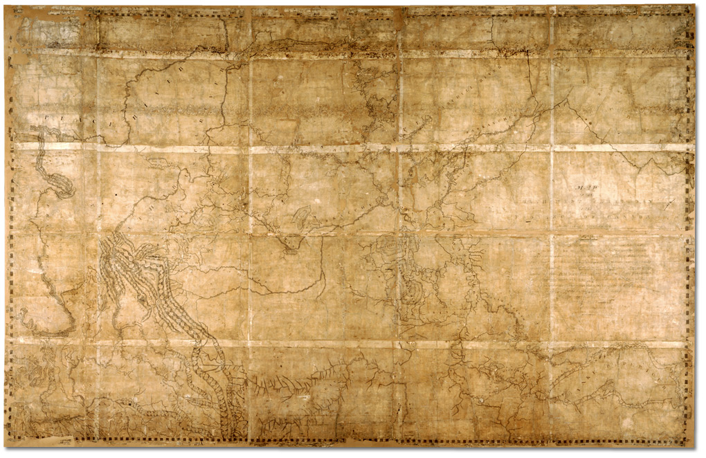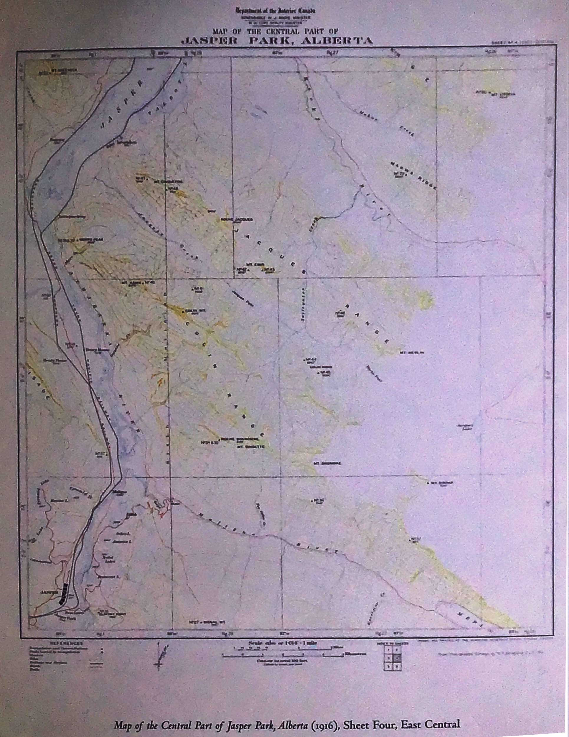
Map of Central Part of Jasper Park, Alberta
Department of the Interior Canada
Sheet Four, East Central
Map of the Central Part of Jasper Park, Alberta
Department of the Interior Canada
From Photographic Surveys by M. P. Bridgland, D.L S. 1915
Sheet Four, East Central
Department of the Interior Canada
From Photographic Surveys by M. P. Bridgland, D.L S. 1915
Sheet Four, East Central
References:
- MacLaren, Ian S. Mapper of Mountains. M. P. Bridgland in the Canadian Rockies, 1902-1930. University of Alberta Press, 2005. Google Books