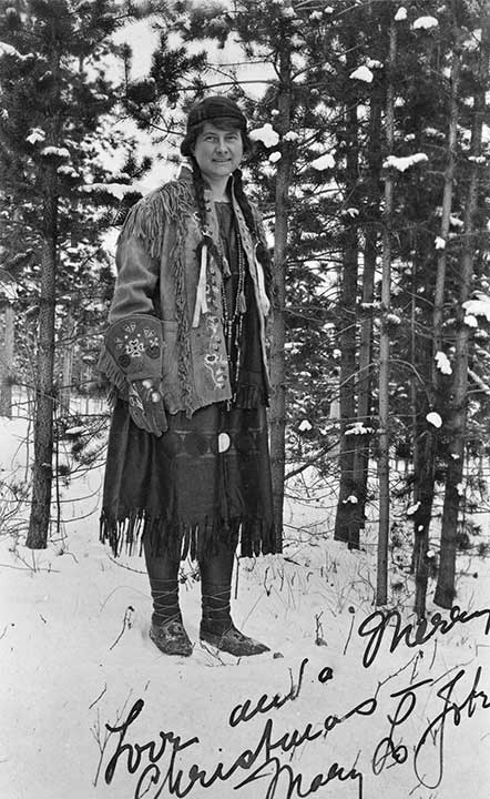
Mary Lenore Jobe Akeley [1878–1966]
b. 1878 — Tappan, Ohio, USA
d. 1966 — Mystic, Connecticut, USA
Jobe Akeley was an American explorer, author, mountaineer, and photographer. She undertook expeditions in the Canadian Rockies and in the Belgian Congo. She worked at the American Museum of Natural History creating exhibits featuring taxidermy animals in realistic natural settings. She worked on behalf of conservation efforts, including being one of the first advocates for the creation of game preserves. She also founded Camp Mystic, an outdoor camp for girls.
Jobe Akeley explored the Mount Sir Alexander area in 1914 and 1915, on expeditions guided by Donald “Curly” Phillips [1884–1938] of Jasper.
In 1924, Mary Jobe became the second wife of Carl Akeley (1864–1926), an explorer, natural scientist, sculptor, inventor, and “father of modern taxidermy”. On their first visit to Africa in 1926, Akeley died of disease in the remote mountains of the Congo. Jobe remained to take charge of his work, collecting specimens, and when she returned to the United Stated in 1927 she succeeded her husband as advisor in the development of the African Hall at the American Museum of Natural History in New York. In the same year, King Albert of Belgium awarded her with the Cross of the Knight, Order of the Crown, in recognition of her courage and service.
She revisited the Congo in 1946 to study the development of the parks system. Between her travels she lectured and wrote several books on her African experiences. She died in 1966, never returning to the mountains of western Canada.
Sources of biographical information about Jobe Akeley:
- Smith, Cyndi. Off the Beaten Track. Women adventurers and mountaineers in western Canada. Jasper: Coyote Books, 1989
- Taylor, William C. Tracks across my trail. Donald “Curly” Phillips, guide and outfitter. Jasper: Jasper-Yellowhead Historical Society, 1984
- Wikipedia. Mary Jobe Akeley
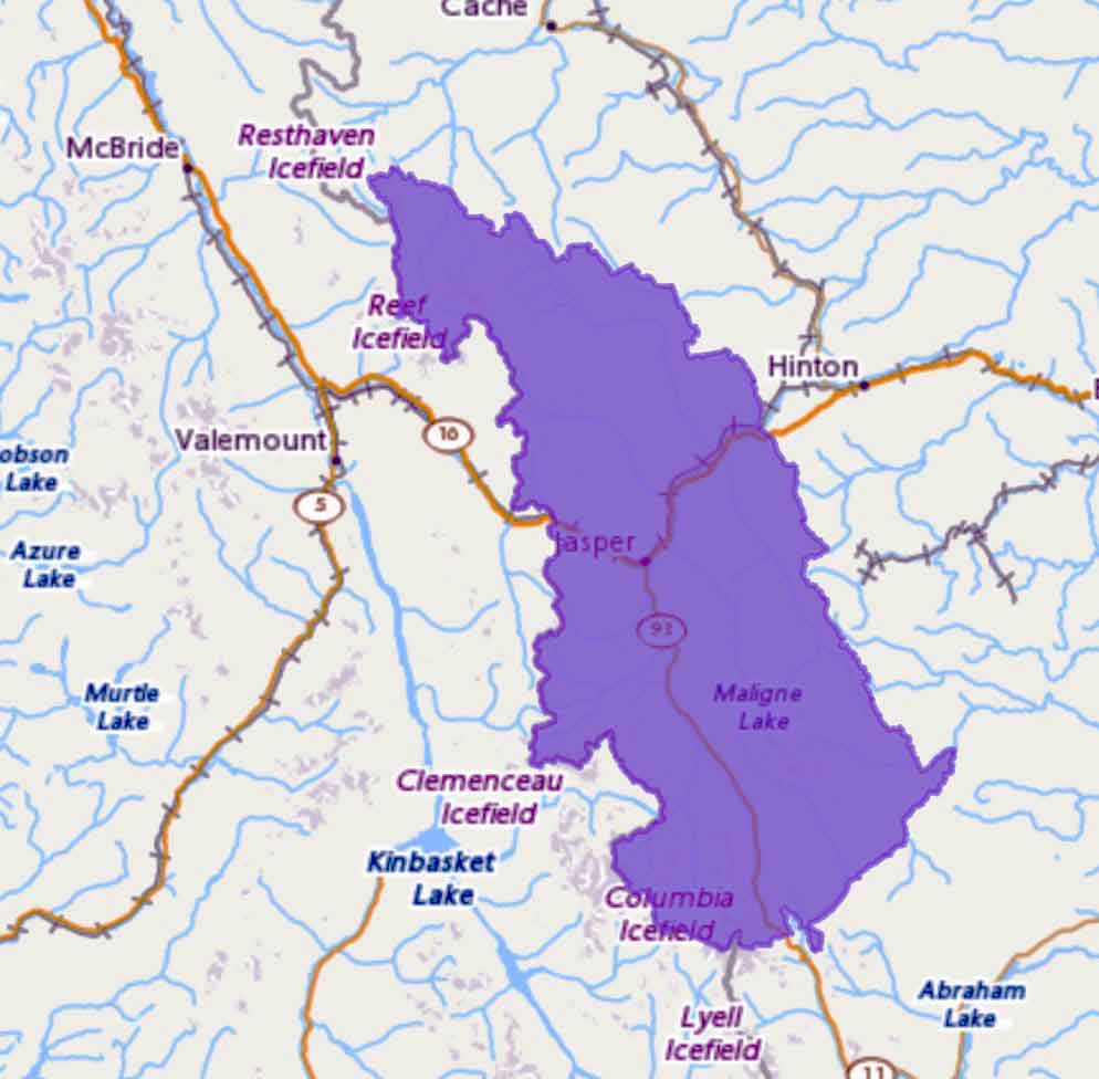
Jobe Akeley is the namesake of the following places in the Mount Robson region:
Events in the Mount Robson region in which Jobe Akeley was involved:
- 1914 Jobe-Phillips expedition Mt. Kitchi
- 1915 Jobe-Phillips to Kitchi
- 1915 Jobe’s second expedition to Mount Sir Alexander (leader)
- 1917 Jobe trip to Wapiti
Works pertinent to the Mount Robson region of which Jobe Akeley was author or co-author:
- — “The expedition to ‘Mt. Kitchi:’ A new peak in the Canadian Rockies.” Canadian Alpine Journal, Vol. 6 (1914–1915):135-143
- — “Mt. Kitchi: A New Peak in the Canadian Rockies.” Bulletin of the American Geographical Society, Volume 47, No. 7 (1915):481-497. JSTOR
- — “Mt. Alexander Mackenzie.” Canadian Alpine Journal, Vol. 7 (1916):62–73
- — “A winter journey to Mt. Sir Alexander and the Wapiti.” Canadian Alpine Journal, Vol. 9 (1918):58-65