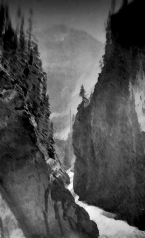
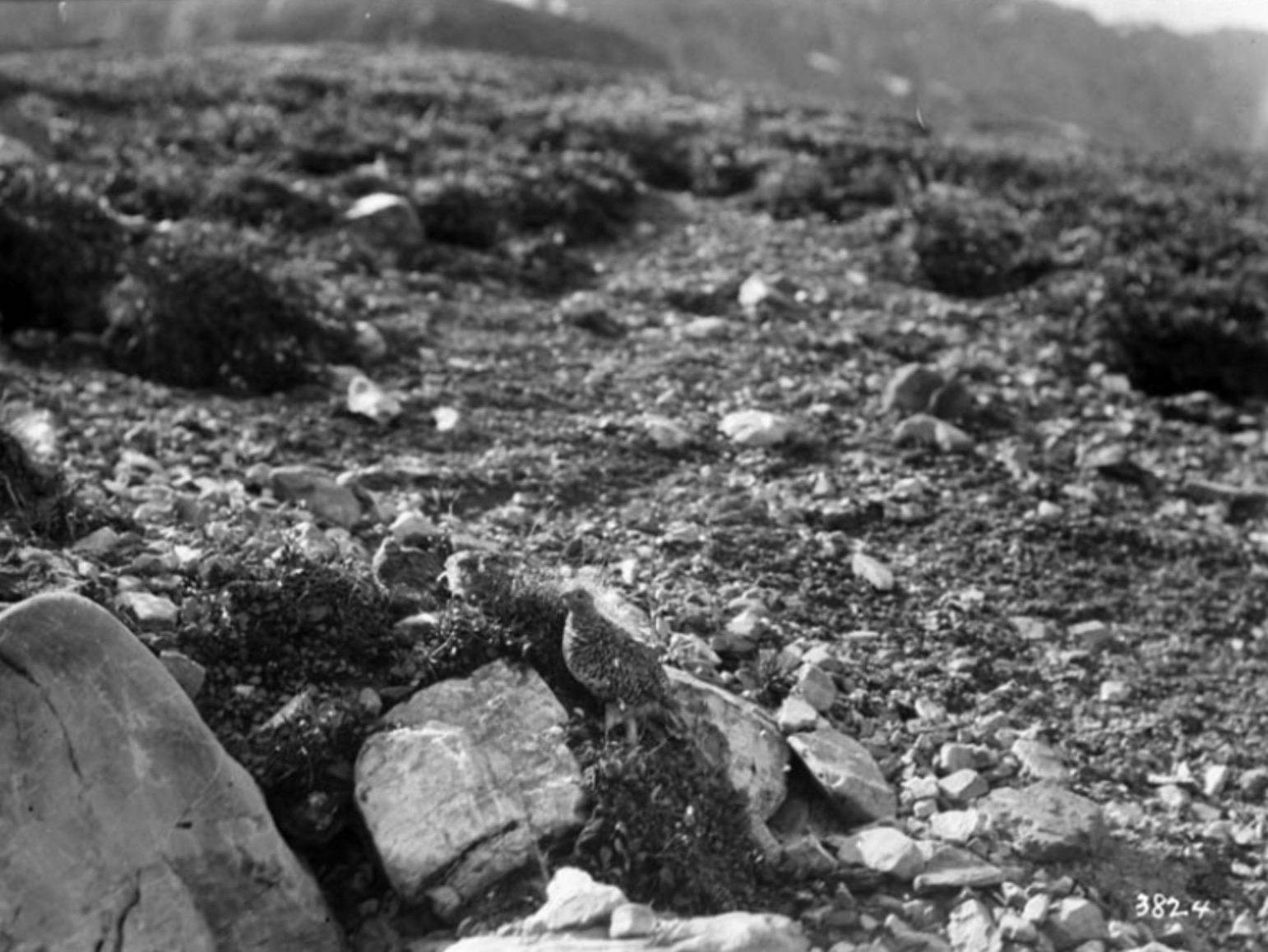
Former name of Hankins Creek
52 N 120.5333 W — Map 93A/2 — Google — GeoHack
Not currently an official name.

Map of New Caledonia. Morice 1904
Internet Archive
New Caledonia, the country to which we wish to introduce the kind reader, was the nucleus out of which the present province of British Columbia was evolved. Authors disagree as to its boundaries. Thus, while Alexander Begg, to whom we owe a “History of the North-West,” assigns to that district rather too modest dimensions when he states [1] that it extended only from 52° to 55° latitude north thereby excluding part of the Chilcotin region- his namesake, Alexander Begg, the author of the latest “History of British Columbia,” sins the other way by stretching its southern limits as far as Colville, in the present State of Washington. Although it included at one time Kamloops and the adjoining territory, it might suffice for the ethnographer to call it simply the region peopled by the Western Déné Indians; but as this statement would not probably add much to the knowledge of most readers, we will describe it as that immense tract of land lying between the Coast Range and the Rocky Mountains, from 51°30′ to 57° of latitude north.
This region is mostly mountainous, especially in the north, where lines of snow-capped peaks intersect the whole country between the two main ranges. Endless forests, mostly of coniferous trees, and deep lakes, whose length generally exceeds considerably their breadth, cover such spaces as are not taken up by mountains. The only level or meadow lands of any extent within that district lie on either side of the Chilcotin River, where excellent bunch grass affords lasting pasturage to large herds of cattle and horses.
Mackenzie was the discoverer of New Caledonia and, therefore, of the interior of British Columbia,” wrote Adrien-Gabriel Morice. “Nay, as the skippers who visited the North Pacific coast never ventured inland, he might with reason be put down as the discoverer of the whole country.
— Morice 1904 (1)
Alexander Mackenzie [1764–1820] of the North West Company [1779–1821] and his party of nine French Canadians and two Native guides crossed the Continental Divide from the Parsnip River to a tributary of the Fraser River on June 12, 1793.
In 1805 NWC fur trader Simon Fraser [1776–1862] was sent into the interior of British Columbia. Reminded of his mother’s descriptions of the Scottish Highlands, he called the area New Caledonia, or New Scotland. (Scotland was called Caledonia by the Romans.) The New Caledonia fur trade district was established between 1805 and 1808 in an effort to find a short supply route from the Pacific Ocean for the North West Company’s far interior posts. Fraser failed to establish a route inland from the Pacific but did establish five posts in north central British Columbia.
For the Hudson’s Bay Company [founded 1670], which moved into the area in 1818 and merged with the North West Company in 1821, New Caledonia was that portion of British Columbia between fifty-one degrees and fifty-seven degrees latitude, and between the summits of the Rocky Mountains and of the Coast Range. New Caledonia was part of the Northern Department of Rupert’s Land until 1825, when it became part of the Columbia Department. The headquarters of New Caledonia was at Fort St. James, the first permanent white settlement on the British Columbia mainland.
In 1858, legislation was introduced to make the area a crown colony under British law. Since the French already had a colony called New Caledonia in the South Pacific, New Caledonia’s name was changed to British Columbia on August 2, 1858.
The name “Nevin (King) Creek” appears on the 1915 Provincial Pre-emptor’s map. The creek is still referred to locally as “King Creek.”
Perhaps named for Slim Niven, “a well-known oldtimer who lived in Tête Jaune Cache during railway construction, around 1912,” according to Margaret McKirdy of Valemount.
Not named after the Dunster old-timer and trapper John Niven who came from Scotland to Canada in 1923 and to B.C. in 1924.
Oscar Lamming opened his Wildlife Museum in 1965, when Museum Road was part of the highway. The collection featured Lamming’s taxidermy and local pioneering artifacts. In 1958 Lamming had opened a smaller museum in Lamming Mills, where he was able to show off his taxidermy, a skill he had learned at the Northwest School of Taxidermy in 1917. In 1970 there were thirteen hundred visitors at the museum, but the construction of the new highway, which by-passed the museum, drastically reduced the number of visitors.
Origin of the name unknown.

Mount Mumm at Berg Lake.
William James Topley, 1914
Library and Archives Canada

A. L. Mumm and guide Moritz Inderbinen. Mount Robson Camp on Snowbird Pass.
Photo by Frank W. Freeborn, 1913
Canadian Alpine Journal 1915
During the 1911 Alpine Club of Canada–Smithsonian Robson Expedition, surveyor Arthur Oliver Wheeler [1860–1945] climbed a peak on which he had noticed a rock cairn. “It had been placed there in 1910 by Dr. J. Norman Collie and A. L. Mumm, accompanied by the well-known Swiss guide, Moritz Inderbinen. The peak has been christened ‘Mumm’s Peak.’ From the summit the scene beggars description.”
The British climber Arnold Louis Mumm [1859–1927] first came to Canada in 1909 at the invitation of Alpine Club of Canada director Wheeler. After attending the 1909 ACC camp at Lake O’Hara, Mumm, along with Leopold Charles Maurice Stennett Amery [1873–1955], Geoffrey Hastings [1860–1941], and Inderbinen [1856–1926], made an unsuccesful attempt on Mount Robson.
Mumm returned with British professor John Norman Collie [1859–1942] in July, 1910, when the Grand Trunk Pacific Railway’s steel had been laid as far as Wolf Creek, about one hundred miles east of the Yellowhead Pass. The party spent some time about Mount Robson, but there was so much snow on the mountains and the weather was so stormy that climbing was out of the question, and they were able to ascend only some of the lesser peaks. They returned down the Smoky and Snake Indian rivers.
The name was adopted in 1965, referring to Ray Zillmer [1887–1960] and his son John, “the only persons known to have ascended the creek of the same name”
James Monroe Thorington [1895–1989] stated that Zillmer and his son in 1947 made the first crossing from “Tête Creek to Canoe River, thence to the N. Thompson and out to Gosnell (C.A.J., XXI, 21). A glacier heading in the only large lateral branch of Tête Creek was named Gilmour Glacier.”

Rollin T. Chamberlin, L. E. “Slim” Goodell, Allen Carpe, A. L. Withers, George Burns
University of Chicago

Jasper National Park employees pictured in front of the Park Administration Building in 1931. Group includes (sitting): E.A. Sullivan (instrument man), J.B. Snape (res. engineer), Col. S. Maynard Rogers (superintendent), H.G. Carlton (accountant), R.W. Langford (superintendent, warden). Standing: C.E. Burrows (steno), H.E. Sullivan (steno), W.R. Evans (foreman), J.R. Heckley (cashier), A.J Dube (timekeeper) W.Booth (clerk), H.S. Davis (game warden) and A.L. Withers (clerk). JYMA PA 18-110.
Jasper-Yellowhead Museum and Archives
Named in 1963 in honor of A. L. (Pete) Withers , a Jasper resident who was a pioneer climber in the area. The name was proposed by the 1949 mountaineering party of Sterling Brown Hendricks [1902–1981] and Andrew John Kauffman [1920–2002].
In 1924 Withers, Allen Carpé [1894–1932], and Rollin Thomas Chamberlin [1881–1948] went up Tête Creek “and made some fine climbs, among them Sir Wilfrid Laurier.”
In 1932, Withers accompanied Clifford White [1902–1964] of Banff, Russell H. Bennett of Minneapolis, and J. A. Weiss of Jasper, on a 480 kilometer ski trek from Jasper to Lake Louise in a 20 day period.
Withers is identified as a clerk in a photograph of Jasper National Park employees in 1931.