NW of Berg Lake
53.1667 N 119.3333 W — Map 83E/3 — Google — GeoHack — Bivouac
Earliest known reference to this name is 1911
Name officially adopted in 1925
Official in BC – Canada
Elevation: 3180 m
Wheeler’s map Mount Robson 1912
Phillips’s map NW of Robson 1915
Jobe’s map Jarvis Pass to Yellowhead 1915
Pre-emptor’s map Tête Jaune 3H 1919
Boundary Commission Sheet 33 (surveyed in 1923)
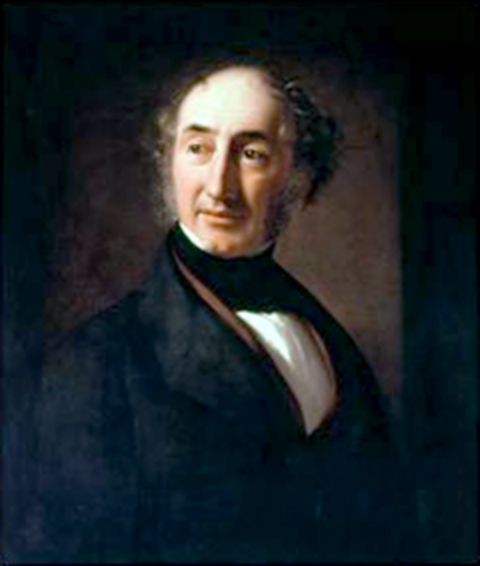
Tom George Longstaff
Alpine Club Photo Library, London
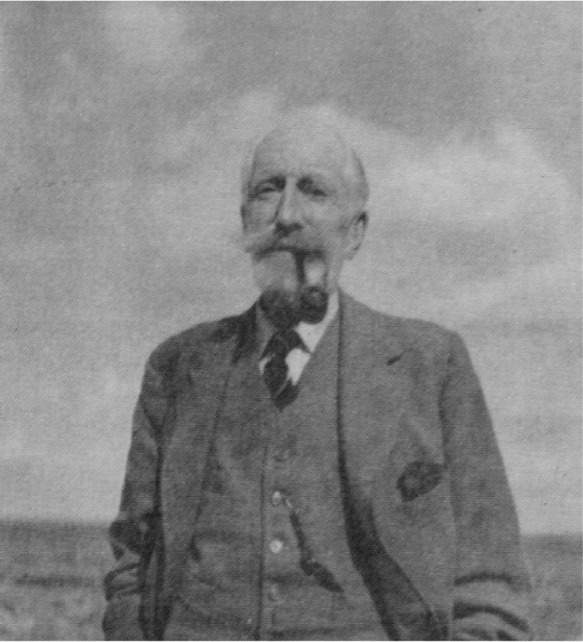
Dr. Tom Longstaff
Canadian Alpine Journal, Vol. 48 (1965), p. 162
Describing “a distant high peak of which the side towards us was wrapped in snow,” Arthur Oliver Wheeler [1860–1945] wrote during the 1911 Alpine Club of Canada–Smithsonian Robson Expedition, “I named it Mount Longstaff after the well-known mountaineer and explorer, Dr. Tom G. Longstaff.”
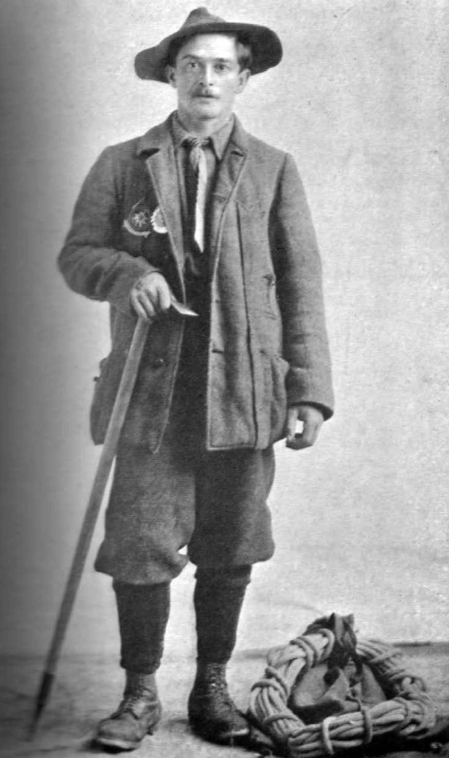
Tom George Longstaff [1875–1964] was born in England. He was educated at Eton and Christ Church, Oxford; and studied medicine at St. Thomas’ Hospital where he obtained his medical degree. He served in the British army in both World Wars. President of the <Alpine Club (UK), he climbed in practically all the major mountain ranges of the world — the Alps, Caucasus, Himalaya, Rockies, as well as in Selkirk, Greenland and Spitsbergen. He did not climb in the Mount Robson region.
Longstaff attended the 1910 Alpine Club of Canada camp at Consolation Valley, near Lake Louise. He attempted to climb Mount Assiniboine by a new route, which he climbed “by sheer mental effort. I used up all my credit balance of nervous energy and it took me two years to build it up again. It was the hardest climb I have ever done,” he wrote in This My Voyage. Longstaff later climbed in the Purcell Mountains with Arthur Wheeler, and in 1911, “captivated by the Western Mountains,” returned to climb in the Selkirks. “The trail was the freest form of travel I have known. There was no need for official permits; no pathways to oppose the whim of the moment; no tribes with different languages and customs to be humoured in a dozen ways; no dusty villages to be cajoled for supplies with infinite patience. My companions, packers and hunters, spoke the same language and we were all equal.”
- Wheeler, Arthur Oliver [1860–1945]. “Report on Mountaineering [1910 camp, Consolation Valley].” Canadian Alpine Journal, Vol. 3 (1911):134-139
- Wheeler, Arthur Oliver [1860–1945]. “The Mountains of the Yellowhead Pass.” Alpine Journal, Vol. 26, No.198 (1912):382
- Holway, Edward Willet Dorland [1853–1923]. “Mt. Longstaff.” Canadian Alpine Journal, 8 (1917):109
- Longstaff, Tom George [1875–1964]. This My Voyage. London: John Murray, 1950
- Bell, Fred C. “Dr. Tom George Longstaff 1878–1964.” Canadian Alpine Journal, Vol. 48 (1965):161-164
- Wikipedia. Tom Longstaff
![MOUNT HOOKER. 15.700 feet Initials found on trees. dated 1827. [Rylatt, p. 125]](/wp-content/uploads/2024/11/rylatt-hooker.jpg)