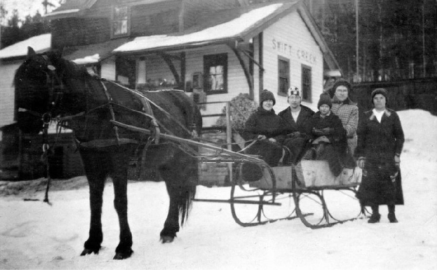
British Columbia. Railway Point
On Canadian National Railway, W side of Fraser River between Torpy River and Morkill River
53.6833 N 120.8667 W — Map 93H/10 — Google — GeoHack
Earliest known reference to this name is 1914 (GTP Timetable)
Name officially adopted in 1983
Official in BC – Canada
On Canadian National Railway, W side of Fraser River between Torpy River and Morkill River
53.6833 N 120.8667 W — Map 93H/10 — Google — GeoHack
Earliest known reference to this name is 1914 (GTP Timetable)
Name officially adopted in 1983
Official in BC – Canada
134 miles west of the Yellowhead Pass on the Canadian National Railway
Mile 45 in Fraser Subdivision (McBride to Prince George as of 1977)
Grand Trunk Pacific Railway station built in 1914
Mile 45 in Fraser Subdivision (McBride to Prince George as of 1977)
Grand Trunk Pacific Railway station built in 1914
This railway point appears on:
Grand Trunk Pacific Railway map [ca. 1912]
Grand Trunk Pacific Railway timetable 1914
Pre-emptor’s map Fort George 1G 1916
Grand Trunk Pacific Railway map ca. 1918
Grand Trunk Pacific Railway map 1919
Pre-emptor’s map Tête Jaune 3H 1919
Canadian National Railway map 1925
Grand Trunk Pacific Railway stations
Possibly named after someone in the Urling family.
References:
- CN (Canadian National Railway). Transportation planning branch, Edmonton, and historical office, Montréal. 2000
- Bohi, Charles W., and Kozma, Leslie S. Canadian National’s Western Stations. Don Mills, Ontario: Fitzhenry & Whiteside, 2002