Fraser River and Smoky River drainages
Between Holmes River and Carcajou Creek
53.2333 N 119.2667 W — Map 83E/3 — Google — GeoHack
Earliest known reference to this name is 1924 (Wheeler)
Name officially adopted in 1925
Official in BC – Canada
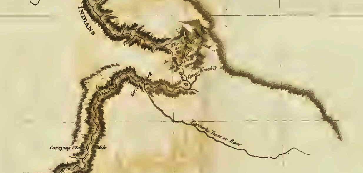
Phillips’s map NW of Robson 1915
Boundary Commission Sheet 32 (surveyed in 1922 &1924)
Boundary Commission Sheet 33 (surveyed in 1923)
In the earliest references to this location, it was called “Wolverine Pass.” Named in association with Carcajou Creek.
The name appears as “Wolverine Pass” on the 1915 map North and West of Robson by Donald “Curly” Phillips [1884–1938].
“Nearly midway between Bess Pass and Robson Pass is a pass of the watershed which is locally known as Wolverine Pass, noted
Arthur Oliver Wheeler [1860–1945] during the 1924 Alberta-British Columbia Boundary Commission survey. “There is another Wolverine Pass in a more southerly part of the Canadian Rockies, so the pass under discussion is here referred to as Carcajou Pass, a synonym for Wolverine.”
Pertaining to passes on the Great Divide, Wheeler wrote, “North of Mount Robson are a number of passes …. Of these Carcajou Pass, 5120 feet in altitude, originally named Wolverine Pass, but changed on account of duplication, is most striking. Its summit is a broad swamp, numerous channels carrying off the glacial outflow of the magnificent ice-bound cirque below Mt. Phillips. Here, half a dozen icefalls sent their masses down in wildest confusion.”
The word carcajou was used by the French in North America, and is apparently of Indian origin. “The fur hunter’s greatest enemy is the wolverine or carcajou,” wrote Milton and Cheadle in 1863.
- Wheeler, Arthur Oliver [1860–1945]. “The Alpine Club of Canada’s expedition to Jasper Park, Yellowhead Pass and Mount Robson region, 1911.” Canadian Alpine Journal, Vol. 4 (1912):9-80
- Cautley, Richard William [1873–1953], and Wheeler, Arthur Oliver [1860–1945]. Report of the Commission appointed to delimit the boundary between the Provinces of Alberta and British Columbia. Part II. 1917 to 1921. From Kicking Horse Pass to Yellowhead Pass.. Ottawa: Office of the Surveyor General, 1924. Whyte Museum
- Wheeler, Arthur Oliver [1860–1945]. “Passes of the Great Divide.” Canadian Alpine Journal, Vol. 16 (1927–1927):117-135