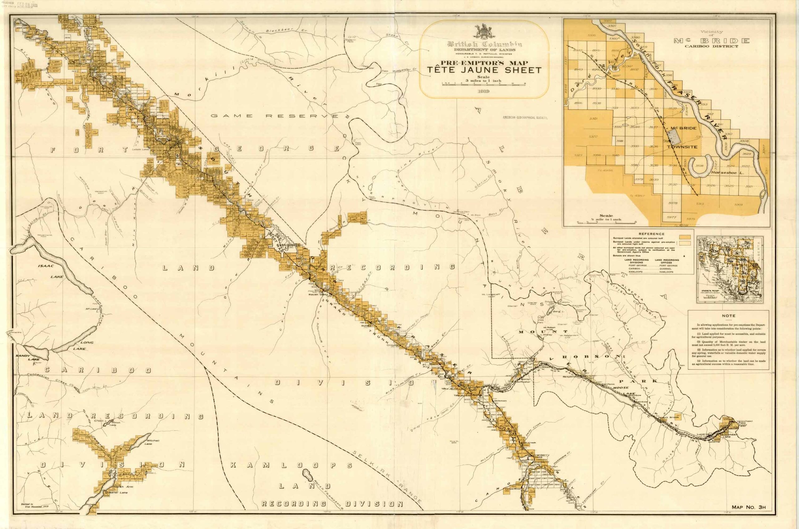
Pre-emptor’s map, Tête Jaune Sheet 3H, 1919 University of Wisconsin Milwaukee Library
British Columbia Department of Lands
Honourable T. D. Patullo, Minister
J. E. Umbach, Surveyor-General
Pre-emptor’s map — Tête Jaune Sheet, 1919
Map. No. 3H
Colour-coded topographic map depicting lands surveyed as alienated, reserved, or open to preemption. Depicts land districts, land recording divisions, communities, bodies of water, communication lines, and transport routes.