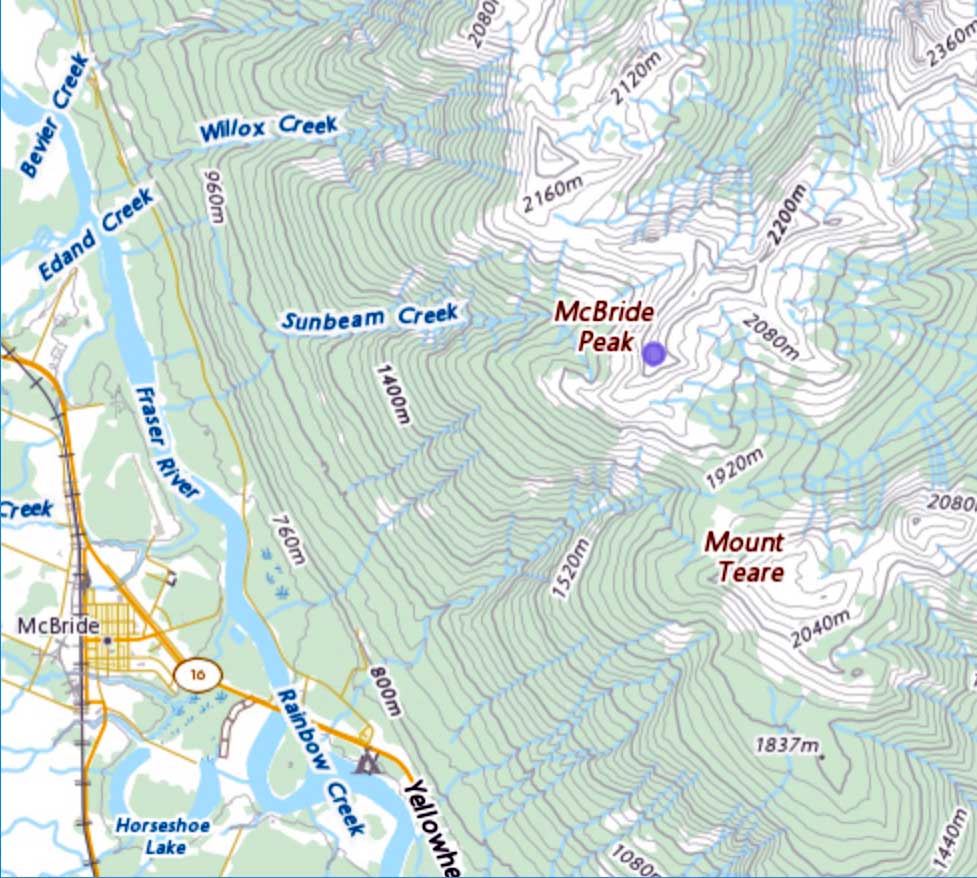
Flows W into Fraser River, N of Upper Fraser
54.1794 N 122.0336 W — Map 93J/1 — Google — GeoHack
Name officially adopted in 1915
Official in BC – Topo map from Canadian Geographical Names
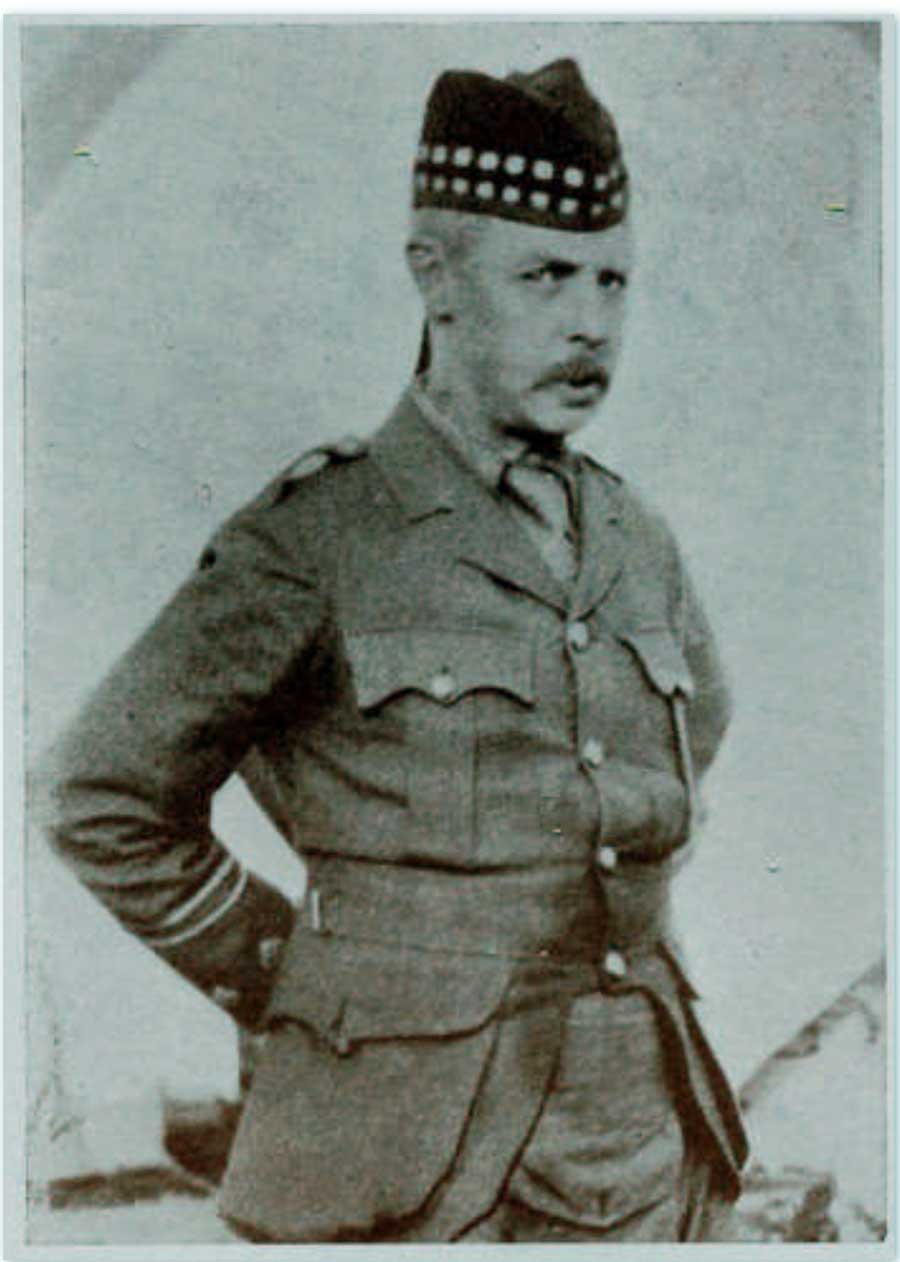
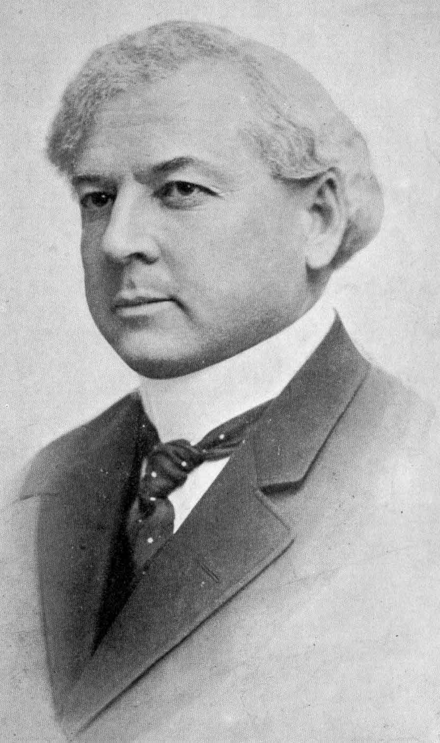
Captain James Herrick McGregor
CVWM
Previous to 1915 this river was known as the Fraser River North Fork (or South Branch of North Fork Fraser River, and also formerly known as Big Salmon River.
Surveyor James Herrick McGregor [1869–1915] was born in Montreal and received his early education in the east. He obtained his commission as a British Columbia Provincial Land Surveyor 1891. He practiced his profession for a few years in the Kootenays and subsequently settled in Victoria.
McGregor was involved in the 1891-98 triangulation and photo-topographic surveys of the southern Rocky Mountains in the vicinity of the Alberta-British Columbia boundary.
McGregor did much of the exploration and survey work in the area around the confluence of the Fraser River and McGregor River upstream of Prince George.(1)
He enlisted in World War I and was killed in the Battle of Ypres.
- 1. British Columbia Geographical Names. McGregor River