Monthly Archives: March 2014

Knutson Creek

British Columbia. Creek: North Thompson River drainage
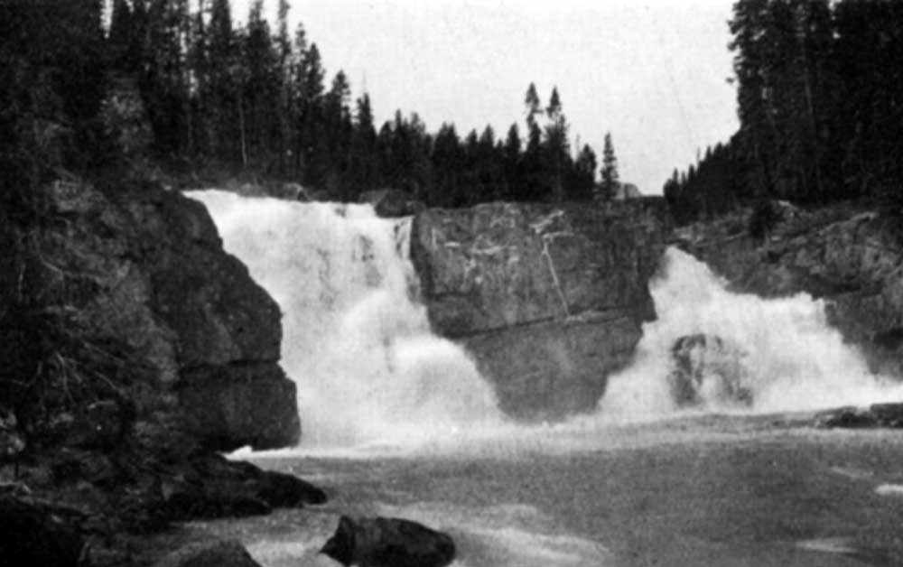
Flows SW into Azure River, Wells Grey Park
52.4956 N 119.7872 W — Map 083D05 — GoogleGeoHack
Name officially adopted in 1963
Official in BCCanada

Louie Knutson [1891-1982] was one of the first persons of European descent to settle in the Robson valley. Born in Norway, Knutson emigrated to Canada from the United States in 1910. After a short stint logging on Vancouver Island, he bought two pack horses in Edmonton and headed for the North Thompson valley. He spent the summer in the hills and in the fall came out the Raush River valley to McBride.

After surveying the tar sands for the Alberta government, in 1911 he returned to McBride and went to work for the Grand Trunk Pacific Railway. He was soon back trapping the North Thompson. On a trip out he married Francis Rose Frye [1905–1992], sister of Ella and Mike Frye. Francis was born in North Dakota and had come with her family to the Valemount area in 1911.

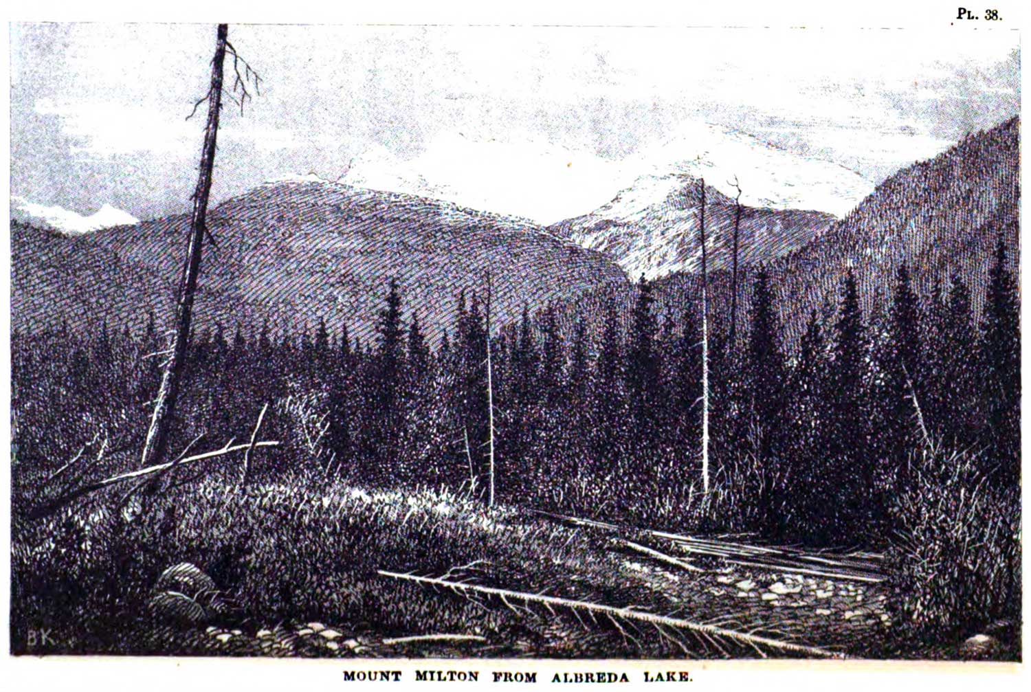
Louie and Francis spent their honeymoon on the trapline. Louis discovered a deposit of high-grade ore at the headwaters of the Azure and Hobson rivers in 1916. He built trails and worked this property until he was unable to walk, but failed to get anything out of it. The site was closed to development when it became part of Wells Grey Provincial Park.

References:

  • Robson Valley Courier. Weekly newspaper published by Pyramid Press of Jasper from 1968–88 (1968–1988).
  • Wheeler, Marilyn [1932–2016]. The Robson Valley Story. McBride, B.C.: Robson Valley Story Group, 1979
  • Valemount Historic Society. Yellowhead Pass and its People. Valemount, B.C.: 1984
  • Wheeler, Marilyn [1932–2016]. The Robson Valley Story. McBride, B.C.: Sternwheeler Press, 2008
  • British Columbia Geographical Names. Knutson Creek
Also see:

Adolph Creek

British Columbia. Creek: North Thompson River drainage
Flows SE into North Thompson River, W of junction with Albreda River
52.4994 N 119.3711 W — Map 83D/11 — GoogleGeoHack
Earliest known reference to this name is 1932 (BCGN)
Name officially adopted in 1961
Official in BCCanada

Adolph Anderson was a guide and trapper on the North Thompson River. The creek was named in 1932 in association with War Colt Group of mineral claims in this vicinity, owned by Adolph Anderson and Louis Knutson of Albreda.

References:

Also see:

Abernathy Road

British Columbia. Road
Forks off Highway 5 near Valemount
52.8687 N 119.3018 W GoogleGeoHack
Roads are not in the official geographical names databases

Pinkney Bee Abernathy [1900–1961] and his wife Elizabeth [b. 1905] arrived at Red Pass from Gainford, Alberta, in 1949. Abernathy, a native of North Carolina, set up a lumber mill at Swift Current Creek, which he operated until 1960.

A supporter of the Yellowhead Route, he worked on the construction of the highway through Mount Robson Park. Before there was year-round maintenance of this section of Highway 16, Abernathy kept the road open to obtain mail and freight from Red Pass and to reach a long-distance phone at Jasper.

References:

  • Valemount Historic Society. Yellowhead Pass and its People. Valemount, B.C.: 1984
  • Carson, Art. Personal correspondence. 2008 Mountain Mania. Mountain Mania

Albreda (railway point)

British Columbia. Locality
Canadian National Railway, N of junction of Albreda River and North Thompson River
52.6375 N 119.1625 W — Map 83D/11 — GoogleGeoHack
Name officially adopted in 1956
Official in BCTopo map from Canadian Geographical Names
74 miles west of the Yellowhead Pass on the Canadian National Railway
Mile 92 in Albreda Subdivision (Jasper to Blue River as of 1977)
Canadian Northern Railway station built in 1915
This locality appears on:
Canadian National Railway map 1925

Named in association with Albreda Lake, a name dating to 1863.

During construction of the Canadian Northern Railway around 1915, Albreda had the first telegraph in the area. Albreda was the inspection point for the Blue River–Jasper subdivision of the rail line and may have had a CNoR 3rd Class depot at one time. (1)

The Albreda post office was open from 1923 to 1948, and again from 1956 to 1959. The small settlement was the site of a Japanese internment camp during World War II. (2)

The original Albreda station was on the Grand Trunk Pacific Railway line, as indicated on Arthur Wheeler’s 1912 topographical map of the Mount Robson region and on British Columbia Pre-emptor’s map 3H, 1914. That early station was located just east of Tête Jaune Cache and repositioned westward as shown Pre-emptor’s map Tête Jaune 3H 1919.

Entry from the 1918 Wrigley’s Directory (3)

ALBREDA — a station on the C.N.R., in the Fort George Provincial Electoral District, 7 miles from Tete Jaune Cache and 40 from Blue River, the post office and nearest commercial telegraph. Population, 21. Three homesteads open for pre-emption, four taken; all good land for gardening. Abundance of mica about 2 miles distant, and cordwood.
Abrams T farming
Askin A farming
Browson Julius A farming
Frederick John section foreman CNR
Frye Fred farming
Joyle Clifford farming
Lavoie Joseph farming
McGuiness C L telegraph operator CNR
McLaren David assistant postmaster
Swanson P farming

Entry from the 1922 Wrigley’s Directory (4)

ALBREDA — a station on the C.N.R. and G.T.P. Rys. Has G. N. W. Telegraph. Population, 21. Abundance of mica about 2 miles distant, and cordwood.
Christoff Steve sec foreman GTP
Frederick John sec foreman CNR
Frye Fred farming
Lavoie Joseph farming
MeGuinness C L tel opr
Nichols C Z agt CNR
Stewart Peter farming

The Great North Western Telegraph Co was established in 1880 and taken over by the Canadian Northern Railway on 1 January 1915. The railway itself was in financial difficulty, however, and was soon purchased by the federal government, subsequently forming a component of Canadian National Railways Co. In this way Great North Western Telegraph Co became Canadian National Telegraph Co. (5)

References:

  • 1. Wrigley Directories, Limited. Wrigley’s British Columbia Directory. Vancouver: 1918. Internet Archive
  • 2. British Columbia Geographical Names. Albreda
  • 3. Wrigley Directories, Limited. Wrigley’s British Columbia Directory. Vancouver: 1918. Internet Archive
  • 4. Telegraph. 2025 Canadian Encyclopedia [accessed 7 February 2025] [accessed 2/7/2025] .
  • 5. Telegraph. 2025 Canadian Encyclopedia [accessed 7 February 2025] [accessed 2/7/2025] .
Also see:

Albreda River

British Columbia. River: North Thompson River drainage
Flows S into North Thompson River at Gosnell (railway point)
52.4833 N 119.1333 W — Map 83D/6 — GoogleGeoHack
Earliest known reference to this name is 1900 (McEvoy)
Name officially adopted in 1961
Official in BCCanada
This river appears on:
McEvoy’s map Yellowhead Pass 1900
So labelled on British Columbia Map 3J, 1914, and following maps, in association with Mount Albreda, which amed in association with Albreda Lake, a name dating to 1863.
References:

  • McEvoy, James [1862–1935]. “Map Showing Yellowhead Pass Route From Edmonton To Tête-Jaune Cache.” (1900). Natural Resources Canada
  • McEvoy, James [1862–1935]. Report on the geology and natural resources of the country traversed by the Yellowhead Pass route from Edmonton to Tête Jaune Cache comprising portions of Alberta and British Columbia. Ottawa: Geological Survey of Canada, 1900. Natural Resources Canada
  • British Columbia Geographical Names. Albreda River

Albreda Lake

British Columbia. Lake: North Thompson River drainage
Head of Albreda River
52.6333 N 119.15 W — Map 83D/11 — GoogleGeoHack
Earliest known reference to this name is 1865 (Milton and Cheadle)
Name officially adopted in 1961
Official in BCTopo map from Canadian Geographical Names
Mount Milton from Albreda Lake. George Monro Grant, plate 38

Mount Milton from Albreda Lake. George Monro Grant, plate 38 Ocean to Ocean: Sandford Fleming’s Expedition through Canada in 1872

On July 23, 1863, the British adventurers William Wentworth Fitzwilliam Milton [1839–1877] and Walter Butler Cheadle [1835–1910], heading south from Tête Jaune Cache, passed the height of land, and gained the watershed of the Thompson. This was occupied, they wrote, “by a small marshy lake, marked Albreda Lake in the map, filling the bottom of the ravine. It appeared to have been drained formerly by a stream flowing from either extremity; but the northern end was now blocked up by an old grass-grown beaver-dam, and its waters escaped only towards the south.”

The lake (now filled in) at the pass between the Fraser River and the North Thompson River was named after Milton’s aunt, Lady Albreda Elizabeth Wentworth-Fitzwilliam. In the 12th century Milton’s ancestor, Sir William Fitzwilliam, married Albreda, daughter of Robert de Lixores.

During construction of the Canadian Northern Railway around 1915, Albreda had the first telegraph in the area. Albreda was the inspection point for the Blue River–Jasper subdivision of the rail line. The Albreda post office was open from 1923 to 1948, and again from 1956 to 1959. The small settlement was the site of a Japanese internment camp during World War II.

References:

  • Milton and Cheadle; Milton, William Wentworth Fitzwilliam [1839–1877]; Cheadle, Walter Butler [1835–1910]. The North-West Passage by Land. Being the narrative of an expedition from the Atlantic to the Pacific, undertaken with the view of exploring a route across the continent to British Columbia through British territory, by one of the northern passes in the Rocky Mountains. London: Cassell, Petter and Galpin, 1865. Internet Archive [accessed 10 March 2025]
  • Trutch, Joseph William [1826–1904]. Map of British Columbia to the 56th Parallel North Latitude. Victoria, B.C.: Lands and Works Office, 1871. University of Victoria
  • McEvoy, James E., P.L.S. [1862–1935]. “Map Showing Yellowhead Pass Route From Edmonton To Tête-Jaune Cache.” (1900). Natural Resources Canada [accessed 10 March 2025]
  • White, James [1863–1928]. “Place names in the vicinity of Yellowhead Pass.” Canadian Alpine Journal, Vol. 6 (1914–1915):107-114
  • Akrigg, Helen B., and Akrigg, George Philip Vernon [1913–2001]. British Columbia Place Names. Vancouver: UBC Press, 1997. Internet Archive [accessed 6 February 2025]
  • Topping, William. A checklist of British Columbia post offices. Vancouver: published by the author, 7430 Angus Drive, 1983
  • Valemount Historic Society. Yellowhead Pass and its People. Valemount, B.C.: 1984

Rainbow Canyon and Falls (Moose River)

British Columbia. Canyon: Fraser River drainage
On Moose River, near junction with Fraser River
52.9167 N 118.8 W — Map 083D15 — GoogleGeoHack
Earliest known reference to this name is 1912 (Wheeler)
Name officially adopted in 1951
Official in BCCanada
This canyon appears on:
Wheeler’s map Mount Robson 1912
Falls of the Moose River. J. Norman Collie, 1910

Falls of the Moose River. J. Norman Collie, 1910
The Geographical Journal (London)


Falls In Rainbow Canyon. Byron Harmon, 1911

Falls In Rainbow Canyon. Byron Harmon, 1911
Canadian Alpine Journal 1912

In the report of the 1911 Alpine Club of Canada–Smithsonian Robson Expedition, Arthur Oliver Wheeler [1860–1945] wrote:

Moose River emerges from a canyon directly beside the railway. It is very fine and will be a most attractive feature to the travelling public. The canyon is not more than two hundred yards in length and about 150 feet deep. There are two falls near the head, of which the upper drops 50 feet and the lower 20 feet. Here the grandeur and awe of the spectacle culminates; the gorge is at its wildest, the sheer rock walls at their steepest; you are between the two falls; flying mist and spray fill the available space and eddy and circle continuously. On sunny days baby rainbows play hide and seek. I counted, at one and the same time, half a dozen at various points of view. The name Rainbow Falls and Canyon is suggested as attractive and appropriate; the more so that the mountain group, of which Robson is the dominating mass, is known as the Rainbow Mountains. The canyon is an exceptionally fine study of the action and effect of a powerful glacial torrent.

Wheeler indicated Rainbow Canyon on the map accompanying his report in the 1912 Canadian Alpine Journal.

References:

  • Collie, John Norman [1859–1942]. “Exploration in the Rocky Mountains North of the Yellowhead Pass.” The Geographical Journal (London), 39 (1912):223-233. JSTOR
  • Wheeler, Arthur Oliver [1860–1945]. “The Alpine Club of Canada’s expedition to Jasper Park, Yellowhead Pass and Mount Robson region, 1911.” Canadian Alpine Journal, Vol. 4 (1912):9-80