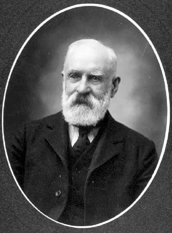
Walter Moberly. B.C. Archives Call Number: A-01814
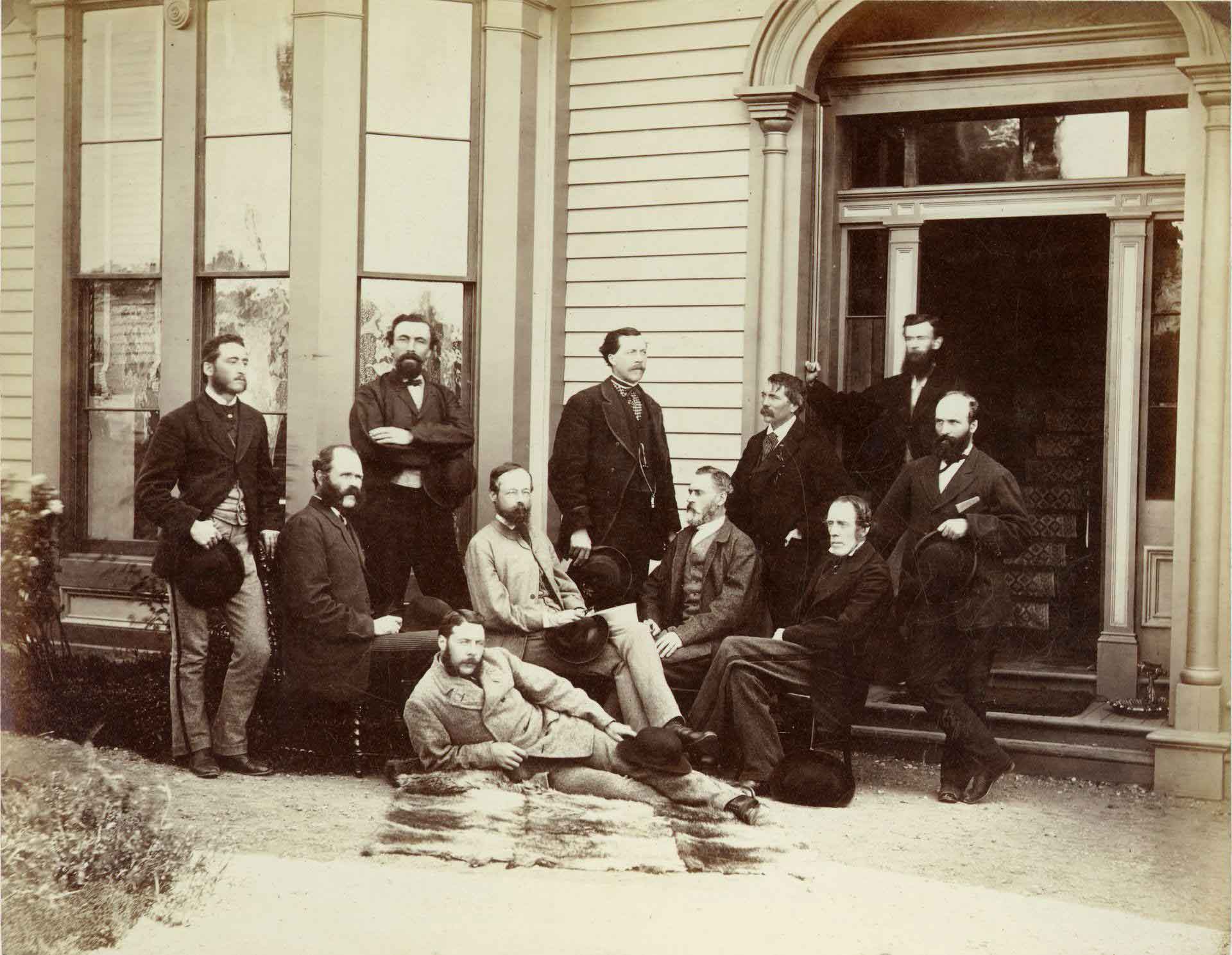
The First Canadian Pacific R.R. and Geological Survey parties for British Columbia, July 22 1871 Left to right : L. N. Rheaumis, Roderick McLennan, A. S. Hall, West West Ireland, Alfred Selwyn, Alex Maclennan, Walter Moberly, C. E. Gilette, James Richardson, — — McDonald, George Watt.
Toronto Public Library
Walter Moberly, C.E., L.S.
b. 15 August 1832 — Steeple Aston, Oxfordshire, England
d. 14 May 1915 — Vancouver, B.C.
Walter Moberly was a civil engineer and surveyor who played a large role in the early exploration and development of British Columbia, including discovering Eagle Pass, now used by the
Canadian Pacific Railway and the Trans-Canada Highway.
In 1865, he was appointed assistant surveyor general of the Colony of British Columbia. His job was to explore new routes for travel and trade for the growing population of the territory. It was during this time that he discovered Eagle Pass through the Gold Range between Shuswap Lake in the north Okanagan and the Columbia River at what is now Revelstoke. The story is that he shot at an eagle’s nest and watched the birds fly up a valley. Reasoning that the birds were unlikely to fly up a blocked valley, he followed them up and discovered the pass. In his recollections, he says he blazed a tree in the pass and inscribed the words, “This is the Pass of the Overland Railway.” The Canadian Pacific Railway did go through his pass but not for another 20 years.
After 1865, he left the province and worked in the mining fields of Utah.
In 1871, when British Columbia was about to enter Confederation with Canada, one of the terms was a promise by Canada to build a railway across the continent. Moberly was sought out by Sir Joseph William Trutch, British Columbia’s first provincial Lieutenant-Governor, and invited back to organize surveys for the railway. His survey crews headed out into the wilderness on the day the province joined confederation. Moberly’s survey crews were responsible for the territory around what is now Eagle Pass, Revelstoke, and Golden. From the time of his discovery of Eagle Pass, he formed the conviction that this was the best route for the railway. However, Sir Sandford Fleming, F.R.S.C., K.C.M.G., chief engineer of the railway project, asked Moberly to relocate his crews north to the Yellowhead Pass for the 1872 season. Moberly was very frustrated with these orders requiring him to abandon his preferred route.
After the 1873 survey season, Moberly left the Canadian Pacific Survey and moved to Manitoba. He continued to do private survey work there. Moberly retired in Vancouver after 1898 and died there in May 1915.
Works pertinent to the Mount Robson region of which Moberly was author:
- — The Rocks and Rivers of British Columbia. London: Blacklock, 1885. Faded Page
- — Early History of the C.P.R. Road. 1909
Moberly is credited with naming the following places:
Events in the Mount Robson region in which Moberly was involved:
- 1871 W Moberly at Howse Pass
- 1872 Walter Moberly surveying for CPR
- 1872 Fleming / Grant cross YHP
- 1873 CPR surveyor W Moberly explores headwaters of Canoe River
![Buckskin Suit [1872]](/wp-content/uploads/2024/11/rylatt-buckskin-suit.jpg)