Author Archives: Swany

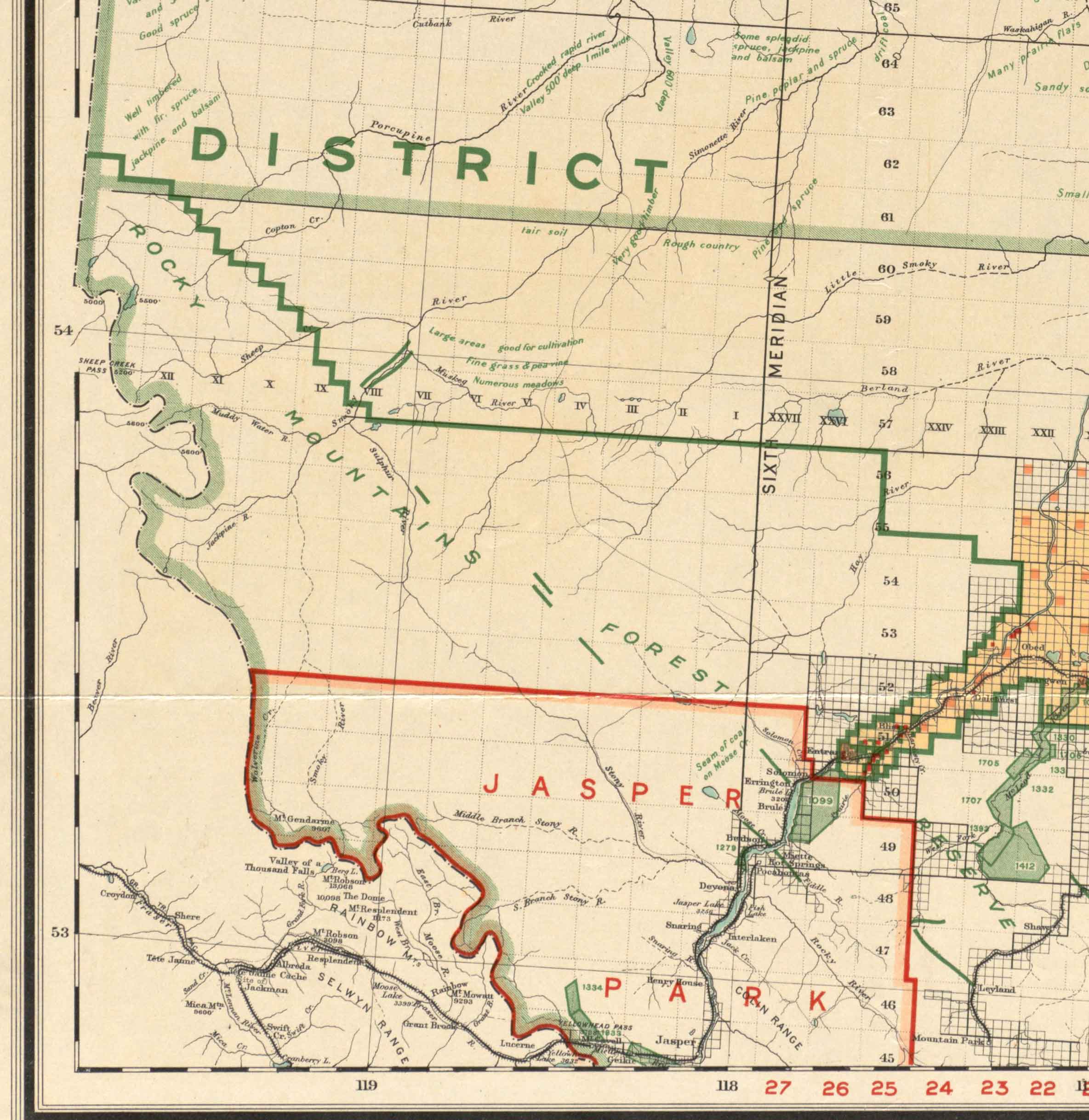
Northern Alberta 1919 map

Northern Alberta showing disposition of lands. Department of the Interior, 1919 (detail)

Northern Alberta showing disposition of lands. Department of the Interior, 1919 (detail)
Norman B. Leventhal Map & Education Center

Department of the Interior Canada
Honourable Arthur Meighen, Minister
Northern Alberta
Map showing disposition of lands
1919

Including lands reserved for purposes of solider settlement.

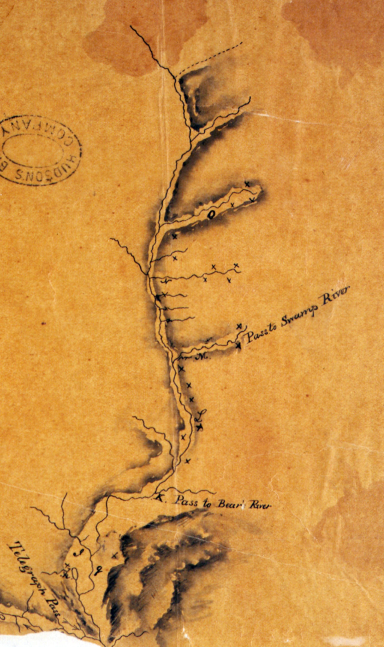
Bear River

British Columbia. Former name: Fraser River drainage
Former name for Willow River
54.0864 N 122.5078 W Google — GeoHack
Not currently an official name.

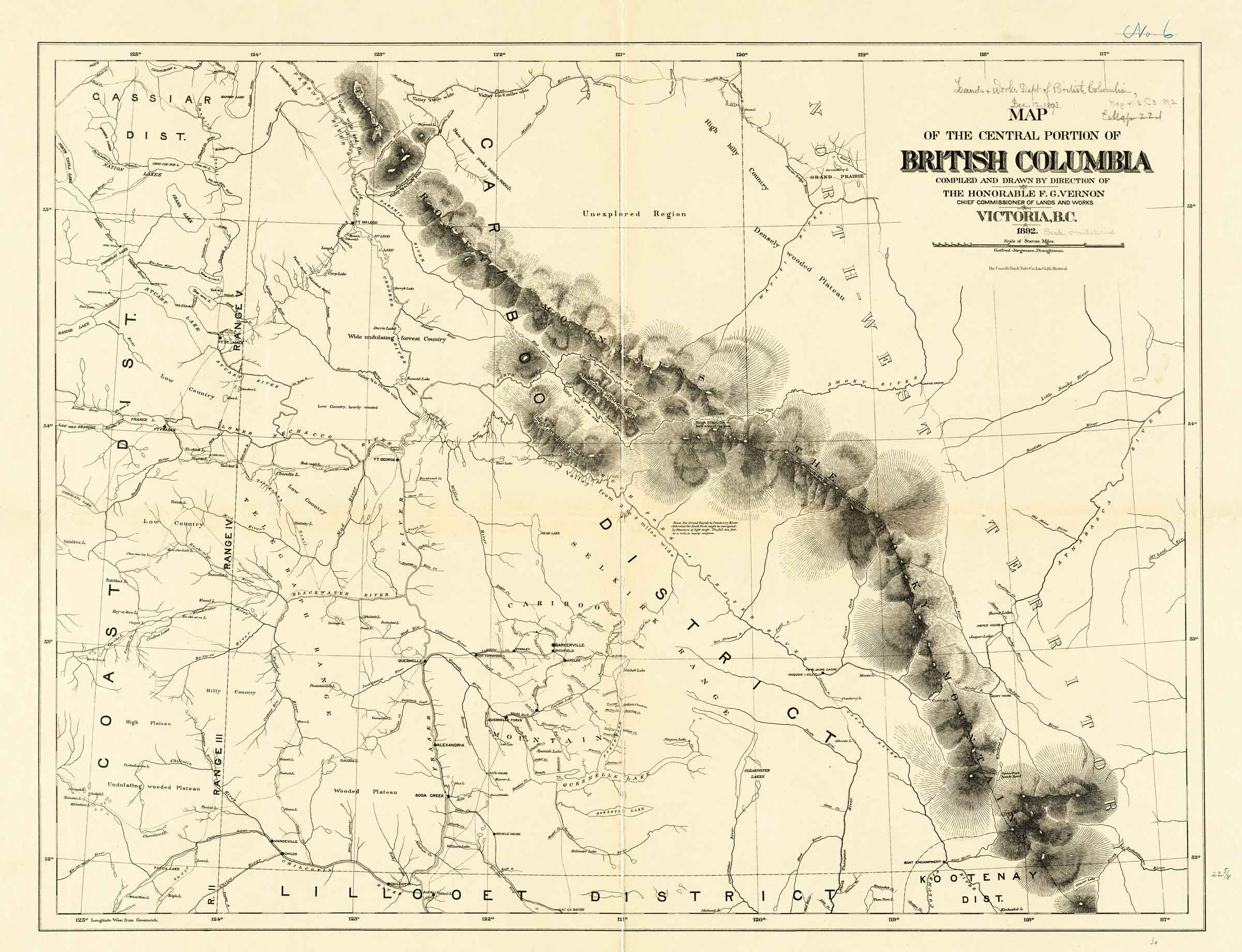
Central portion of British Columbia 1892

Map of the central portion of British Columbia. British Columbia Department of Lands and Works, 1892

Map of the central portion of British Columbia.
British Columbia Department of Lands and Works, 1892
Norman B. Leventhal Map & Education Center [accessed 12 October 2026]

Map
of the central portion of
British Columbia
compiled and drawn by direction of
The Honorable F. G. Vernon,
Chief Commissioner of Lands and Works
Victoria, B.C.
1892
Gotfred Jorgensen, Draughtsman.

Note along the South Fork of the Fraser River:

From the Grand Rapids to Cranberry River (185 miles) the South Fork might be navigated by steamers of light draft. The fall, 2 feet to a mile, is nearly uniform.