British Columbia. Provincial Park
Surrounding West Twin Creek, between Milk River and Fraser River
53.3556 N 120.5444 W — Map 093H07 — Google — GeoHack
Name officially adopted in 2002
Official in BC – Canada
Surrounding West Twin Creek, between Milk River and Fraser River
53.3556 N 120.5444 W — Map 093H07 — Google — GeoHack
Name officially adopted in 2002
Official in BC – Canada
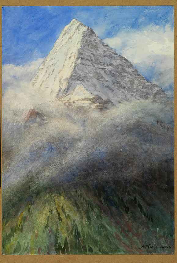
This provincial park was established in 2000 to protect the rich wildlife values and the wide biogeoclimatic representation. Most of all, this park (including the West Twin Protected Area) contains the only protected corridor across the Robson Valley trench. The 22,000 ha. area runs from the Cariboo Mountains in the south, through the main Robson Valley trench, and up the fronting ranges of the Rocky Mountains.
References:
- British Columbia Geographical Names. West Twin Provincial Park
- British Columbia Parks. West Twin Provincial Park