British Columbia. Creek: Fraser River drainage
Flows NE then S into Castle Creek, S of McBride
53.2136 N 120.0914 W — Map 093H01 — Google — GeoHack
Name officially adopted in 1993
Official in BC – Topo map from Canadian Geographical Names
Flows NE then S into Castle Creek, S of McBride
53.2136 N 120.0914 W — Map 093H01 — Google — GeoHack
Name officially adopted in 1993
Official in BC – Topo map from Canadian Geographical Names
Adopted 23 April 1993; a well-established local name according to Forest Service and Conservation Officer Service.
References:
- British Columbia Geographical Names. Cold Creek

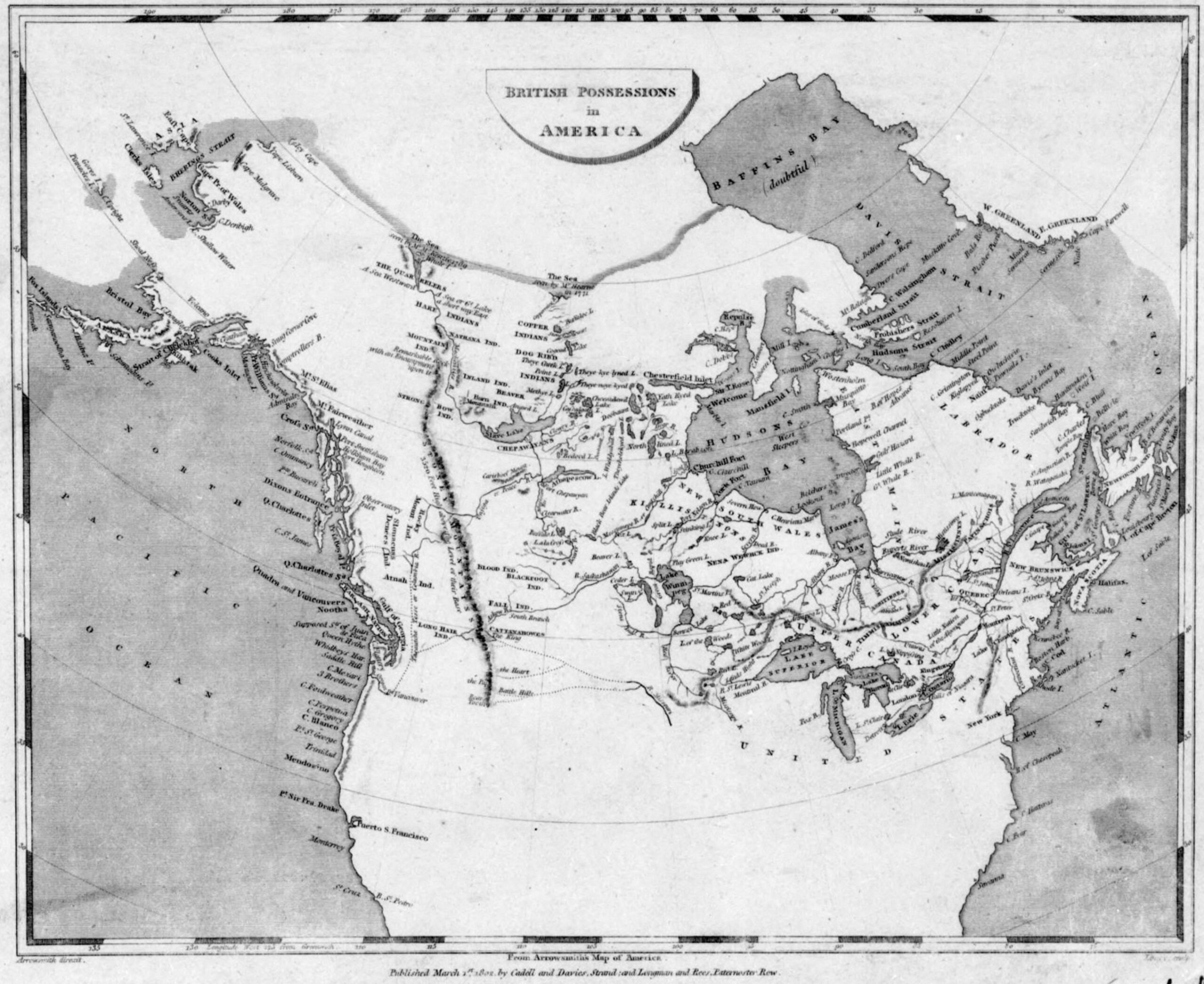
![British possessions in America [detail] Arrowsmith 1802](/wp-content/uploads/2022/01/arrowsmith-1795-detail2.jpg)
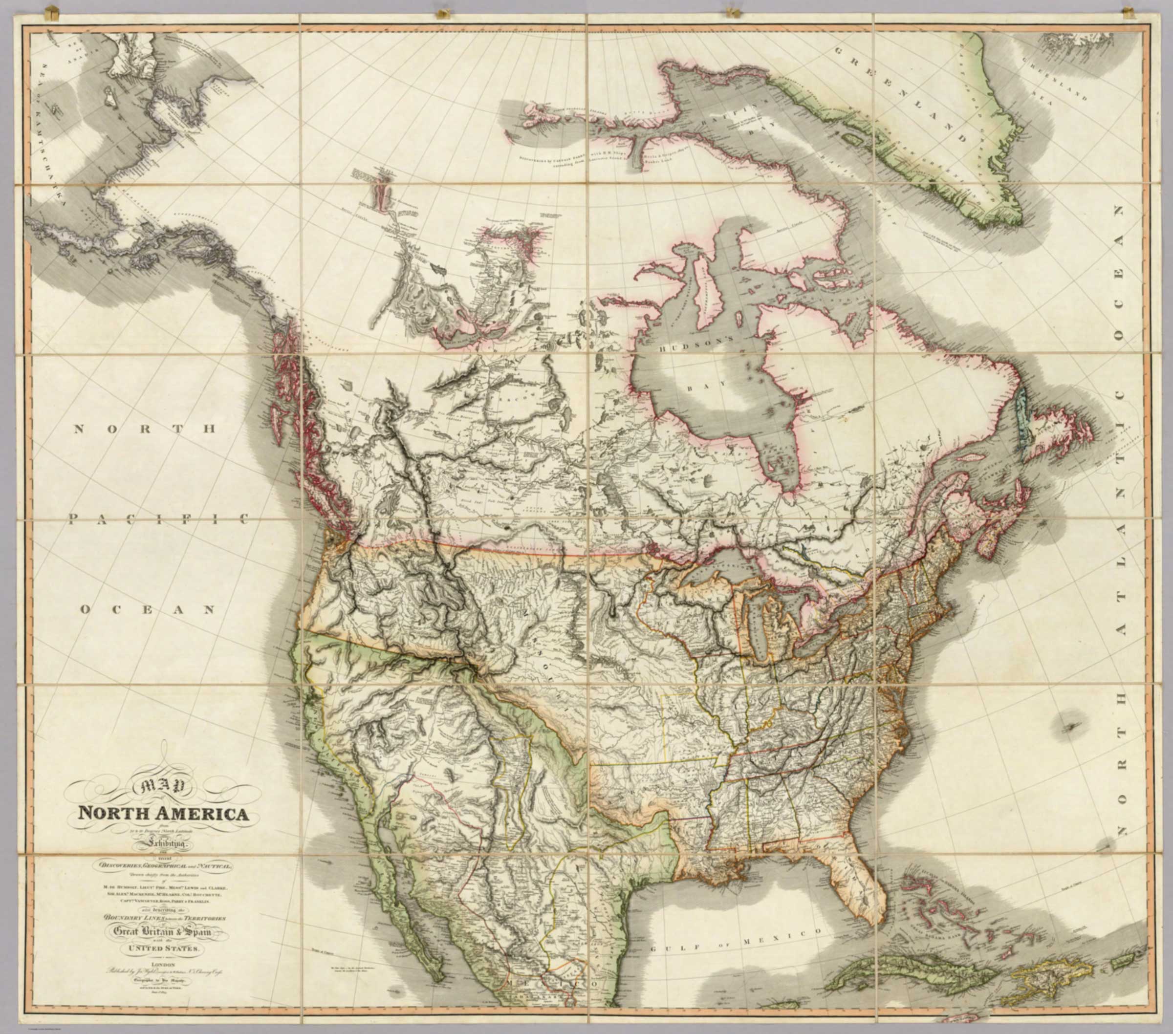
![Map of North America from 20 to 80 Degrees North Latitude [detail]](/wp-content/uploads/2026/02/Wyld-map-North-America-1823-detail.jpg)
![Map of North America from 20 to 80 Degrees North Latitude [title]](/wp-content/uploads/2026/02/Wyld-map-North-America-1823-legend.jpg)