Alberta-BC boundary. Ridge
Between Snowbird Pass and Lynx Mountain
53.1342 N 119.0486 W — Map 083E03 — Google — GeoHack
Earliest known reference to this name is 1912 (Walcott)
Name officially adopted in 1924
Official in BC – Canada
Between Snowbird Pass and Lynx Mountain
53.1342 N 119.0486 W — Map 083E03 — Google — GeoHack
Earliest known reference to this name is 1912 (Walcott)
Name officially adopted in 1924
Official in BC – Canada
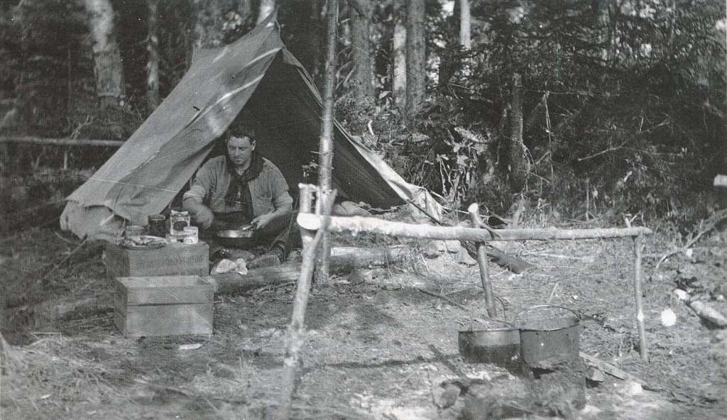
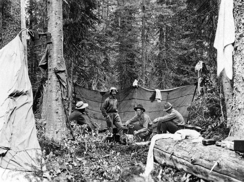
“Chushina” is a Stoney word signifying “small” and was thought to be descriptive of this ridge when members of a 1911 Alpine Club of Canada–Smithsonian Robson Expedition named this feature.
[From the crest of Phillips Mountain] a glacier slopes down for a mile and a half to the edge of the cliffs west of Snowbird Pass. It is such a fine example of a small and complete glacier from névé to foot that I think it worthy of the name Chushina.
— Charles Doolittle Walcott [1850–1927]
Walcott applied his name to the glacier, but now it applies to the ridge.
“Chushina Ridge” is listed at Indigenous Geographical Names dataset as a word of undetermined language.
References:
- Walcott, Charles Doolittle [1850–1927]. “The monarch of the Canadian Rockies.” National Geographic Magazine, (1913):626. Internet Archive
- British Columbia Geographical Names. Chushina Ridge
Also see: