British Columbia. Creek: Fraser River drainage
Flows SW into Fraser River, W end of Moose Lake
52.9833 N 118.9833 W — Map 83D/15 — Google — GeoHack
Official in BC – Canada
Flows SW into Fraser River, W end of Moose Lake
52.9833 N 118.9833 W — Map 83D/15 — Google — GeoHack
Official in BC – Canada
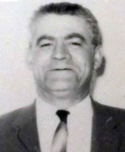
Earl Francis Woodley [1892–?] was postmaster at Red Pass Junction from 1923 to 1946. Earl and his wife Edna (1899-1971) ran the Red Pass general store and hotel from 1923 until 1944. Earl’s father, about 70 years old in 1944, was bartender in the pub. One of the Woodley boys married a Hinkelman girl and lived in McBride.
References:
- Robson Valley Courier. Weekly newspaper published by Pyramid Press of Jasper from 1968–88 (1968–1988).
- Wheeler, Marilyn [1932–2016]. The Robson Valley Story. McBride, B.C.: Robson Valley Story Group, 1979
- Valemount Historic Society. Yellowhead Pass and its People. Valemount, B.C.: 1984
Also see: