Alberta. Railway point and locality
Former name of
Jasper
52.8778 N 118.0831 W
Google —
GeoHack
Earliest known reference to this name is 1912
Not currently an official name.
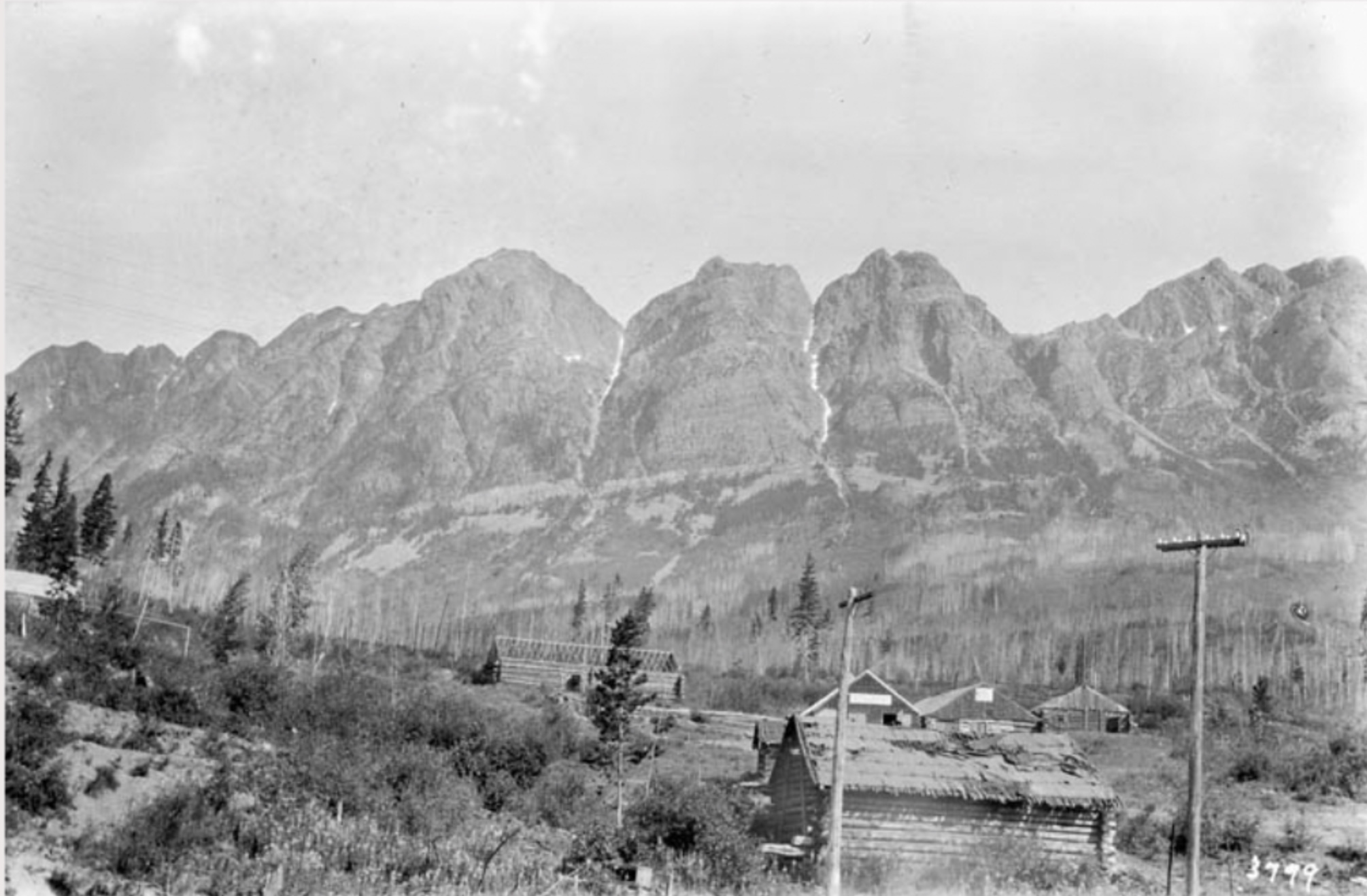
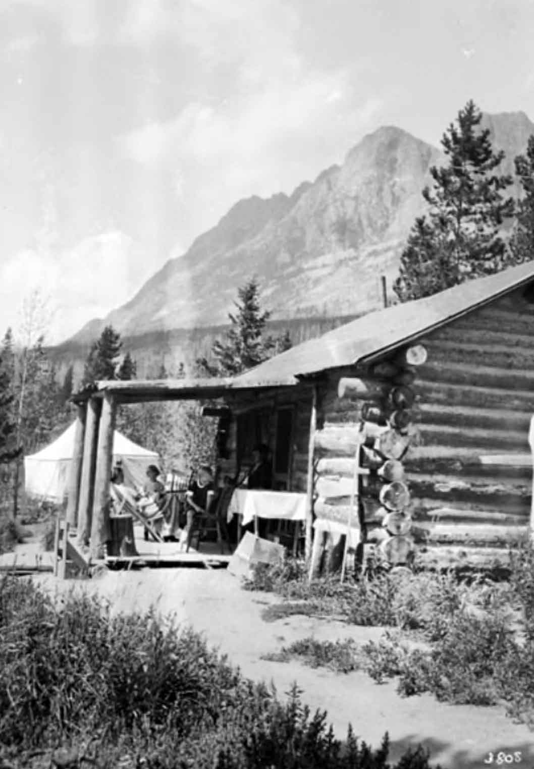
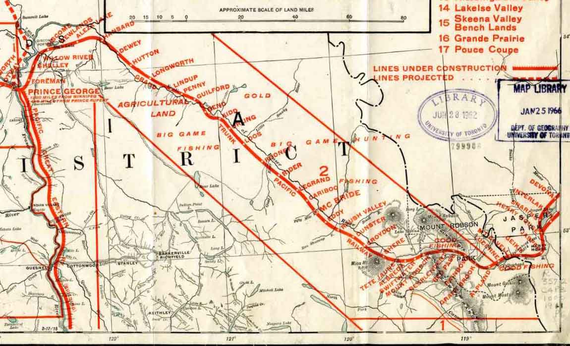
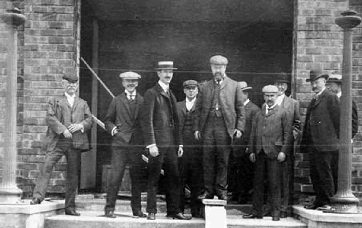
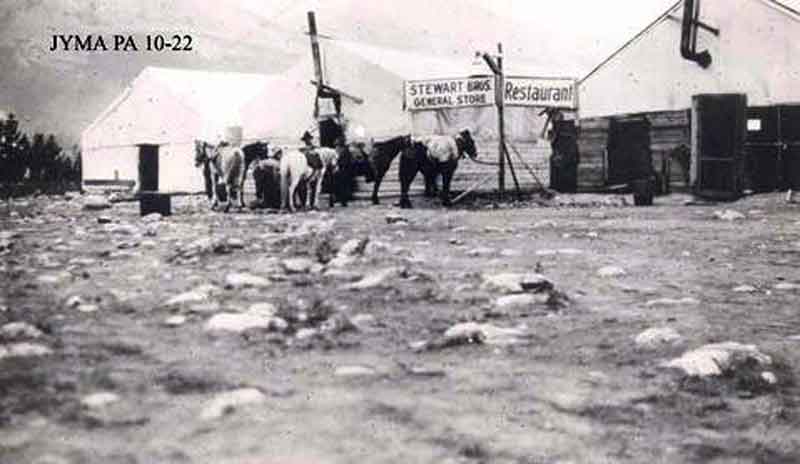
Near the end of 1910 the Grand Trunk Pacific Railway established a divisional point at mile 112 (as measured from the McLeod River), near a plateau between the Miette River and the Athabasca River It was called Fitzhugh after the vice-president and general manager of the railway, Earl Hopkins Fitzhugh Jr. [1853–1930].
The Grand Trunk Pacific Railway used an alphabetical station naming system for railway stations along its mainline from Winnipeg to Prince Rupert. West of Wolf Creek are Yates, Ansell, Bickerdike, Dalehurst, Entrance, and Fitzhugh.
By 1911 the Canadian government had decided to make Fitzhugh the administration center for Jasper National Park of Canada. The town survey completed in 1913 was approved one year later. Development of the town began in earnest during the summer of 1913. The first change was to rename the town “Jasper,” the name by which it is known today.
The spring of 1912 [Donald Phillips] built his corrals and a shack in Fitzhugh (which was changed to Jasper the fall of 1913) right in the middle of what is known as Pyramid Drive now.
The trail from Fitzhugh to Maligne Lake is a good one, built by the Otto Bros, last spring. Ten miles out from Fitzhugh is Buffalo Prairie, which is on a low bench along the Athabaska River and through which several streams flow which head on the mountain
— Wilkins
Early in September, 1911, we swam our horses across the Athabaska River below Fitzhugh in the Jasper Park, on the line of the Grand Trunk Pacific Railway.
The trail from Fitzhugh to Maligne Lake is a good one, built by the Otto Bros, last spring. Ten miles out from Fitzhugh is Buffalo Prairie, which is on a low bench along the Athabaska River and through which several streams flow which head on the mountain.
— Phillips
Fitzhugh, named after vice-president of the Grand Trunk Railway, is, owing to its central position at the junction of the three valleys, bound to become an important centre. There is plenty of room for it to grow and expand in the park-like situation that has been chosen.
— — Wheeler
References:
- Ermatinger, Edward [1797–1876], and White, James [1863–1928], editor. Edward Ermatinger’s York Factory express journal, being a record of journeys made between Fort Vancouver and Hudson Bay in the years 1827–1828. Ottawa: Transactions of the Royal Society of Canada, 1912. Internet Archive [accessed 10 March 2025]
- Wilkins, Bert. Jasper: Jasper Yellowhead Archives. “What Curlie told me regarding his climb of Mt. Robson” (1909).
- Phillips, Donald “Curly” [1884–1938]. “Fitzhugh to Laggan. Report by Donald Phillips to A. O. Wheeler, Director of the Alpine Club, Canada.” Canadian Alpine Journal, Vol. 4 (1912):83-86. Alpine Club of Canada [accessed 2 April 2025]
- Wheeler, Arthur Oliver [1860–1945]. “The Alpine Club of Canada’s expedition to Jasper Park, Yellowhead Pass and Mount Robson region, 1911.” Canadian Alpine Journal, Vol. 4 (1912):9-80. Alpine Club of Canada [accessed 2 April 2025]
- Archives Society of Alberta. Jasper Yellowhead Historical Society Fitzhugh photograph collection. 1911–1927. Alberta on Record